Hargitafürdő - Ciba
- 8.6 km
- 42 m
- 659 m
- Căpâlniţa, Harghita County, Romania
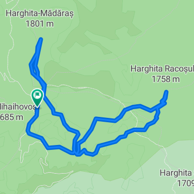
Starting from Madarasi Hargita, a red-yellow marked cycling path leads to Kápolnásfalva. The distance is 19.4 kilometers; at Madarasi Hargita-Kazánsarka, it turns right onto a forest road, from where it turns left, entering Tizenhétfalusi, and arriving in Kápolnás via Vadgázló.
Quiet road
27.6 km77 %Track
6.1 km17 %Undefined
2.1 km6 %Paved
5.4 km(15 %)Unpaved
18.3 km(51 %)Gravel
15 km42 %Asphalt
5.4 km15 %Free trial for 3 days, or one-time payment. More about Bikemap Premium.
Discover more Premium features.
Get Bikemap PremiumOpen it in the app