

Berg - Navekvarn
A cycling route starting in Berg, Östergötland County, Sweden.
Overview
About this route
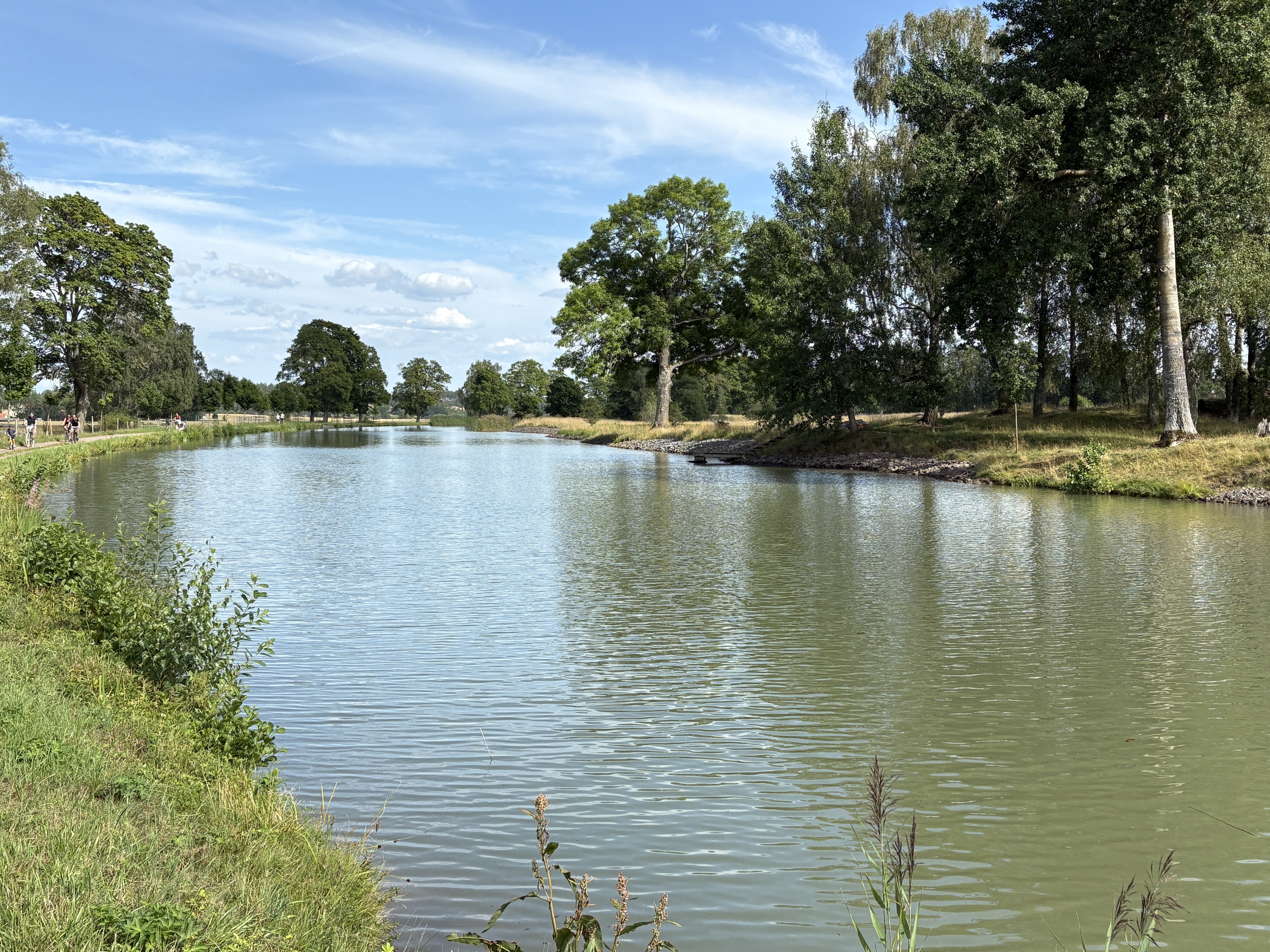
<span lang="EN" style="line-height: 115%; font-family: "Verdana","sans-serif"; font-size: 10pt; mso-fareast-font-family: Calibri; mso-fareast-theme-font: minor-latin; mso-bidi-font-family: "Times New Roman"; mso-bidi-theme-font: minor-bidi; mso-ansi-language: EN; mso-fareast-language: EN-US; mso-bidi-language: AR-SA;"><font color="#000000">Along the Canal we stopped for coffee plus cake at a YH, managed by an Austrian - Swedish couple. By Soderkoping the Canal ends and we headed north and stayed over night in the Village Navekvarn. The B&B / Vandrahem is located within the centre. The little islands near the village invites for a walk, we have done it by beautiful sun setting.</font></span>
- -:--
- Duration
- 109 km
- Distance
- 354 m
- Ascent
- 379 m
- Descent
- ---
- Avg. speed
- ---
- Max. altitude

Route quality
Waytypes & surfaces along the route
Waytypes
Road
66.5 km
(61 %)
Quiet road
16.4 km
(15 %)
Surfaces
Paved
75.2 km
(69 %)
Unpaved
30.5 km
(28 %)
Asphalt
74.1 km
(68 %)
Gravel
24 km
(22 %)
Continue with Bikemap
Use, edit, or download this cycling route
You would like to ride Berg - Navekvarn or customize it for your own trip? Here is what you can do with this Bikemap route:
Free features
- Save this route as favorite or in collections
- Copy & plan your own version of this route
- Split it into stages to create a multi-day tour
- Sync your route with Garmin or Wahoo
Premium features
Free trial for 3 days, or one-time payment. More about Bikemap Premium.
- Navigate this route on iOS & Android
- Export a GPX / KML file of this route
- Create your custom printout (try it for free)
- Download this route for offline navigation
Discover more Premium features.
Get Bikemap PremiumFrom our community
Other popular routes starting in Berg
 Spantvägen, Vreta Kloster nach Strandbadens campingområde, Borensberg
- Distance
- 22.3 km
- Ascent
- 54 m
- Descent
- 17 m
- Location
- Berg, Östergötland County, Sweden
 Berg Schleusentreppe--RW Götakanal--Borensberg--RW Motalaström/Götakanal--Brunneby Herrgard/ Kyrka--Ljungs Slott--Vreta Kloster/Garden--Berg Schleusentreppe
- Distance
- 49.6 km
- Ascent
- 227 m
- Descent
- 223 m
- Location
- Berg, Östergötland County, Sweden
 Berg - Navekvarn
- Distance
- 109 km
- Ascent
- 354 m
- Descent
- 379 m
- Location
- Berg, Östergötland County, Sweden
 Vånga ToR
- Distance
- 49.8 km
- Ascent
- 391 m
- Descent
- 398 m
- Location
- Berg, Östergötland County, Sweden
 Sectra
- Distance
- 14.8 km
- Ascent
- 78 m
- Descent
- 57 m
- Location
- Berg, Östergötland County, Sweden
 29k platt - Odensnäs - Maspelösa
- Distance
- 29.2 km
- Ascent
- 153 m
- Descent
- 155 m
- Location
- Berg, Östergötland County, Sweden
 Berg-Ljungsjön-Odensnäs
- Distance
- 33 km
- Ascent
- 177 m
- Descent
- 177 m
- Location
- Berg, Östergötland County, Sweden
 Berg - Rappestad - Maspelösa - Ljung
- Distance
- 47.6 km
- Ascent
- 189 m
- Descent
- 189 m
- Location
- Berg, Östergötland County, Sweden
Open it in the app