retorno sao roque
- 25.1 km
- 302 m
- 396 m
- São Roque, São Paulo, Brazil
A cycling route starting in São Roque, São Paulo, Brazil.
Overview
Trail, with a section of asphalt and then dirt and gravel
created this 10 years ago
Route highlights

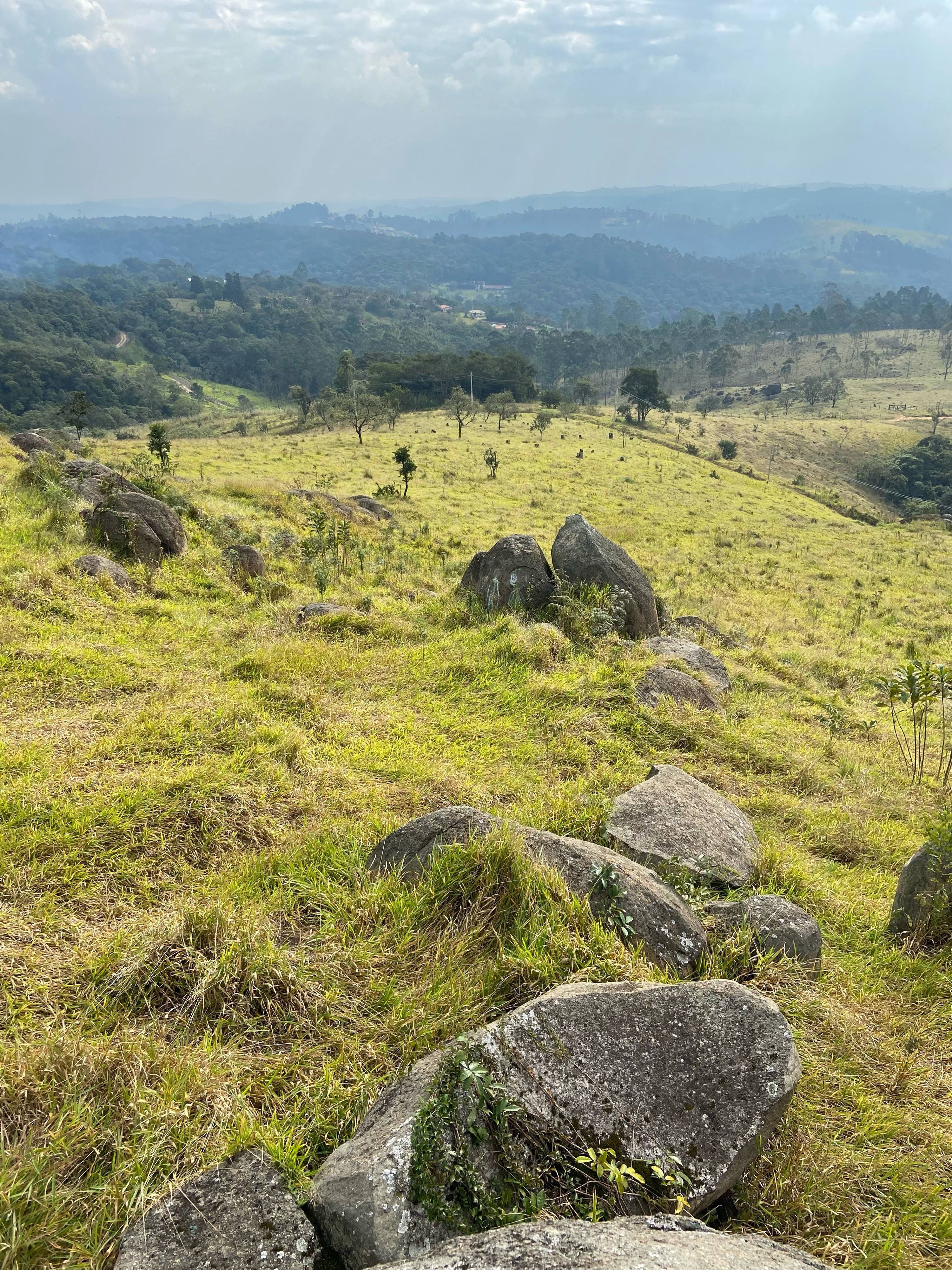
Mirante

Túnel

Descanso e abastecimento
Continue with Bikemap
You would like to ride Trilha do Boiadeiro or customize it for your own trip? Here is what you can do with this Bikemap route:
Free trial for 3 days, or one-time payment. More about Bikemap Premium.
Discover more Premium features.
Get Bikemap PremiumFrom our community
Open it in the app