Frankenberg-Rosenthal
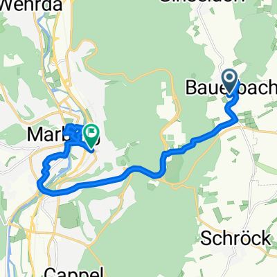
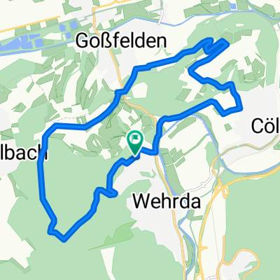
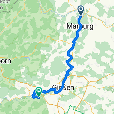
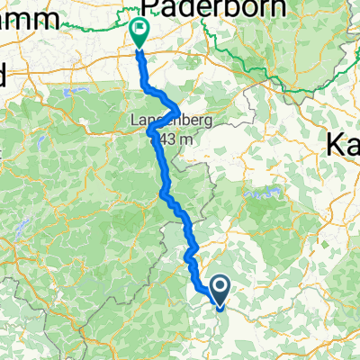
A cycling route starting in Cölbe, Hesse, Germany.
Overview
About this route
Frankenberg-Rosenthal
- -:--
- Duration
- 59.3 km
- Distance
- 551 m
- Ascent
- 551 m
- Descent
- ---
- Avg. speed
- ---
- Avg. speed
Continue with Bikemap
Use, edit, or download this cycling route
You would like to ride Frankenberg-Rosenthal or customize it for your own trip? Here is what you can do with this Bikemap route:
Free features
- Save this route as favorite or in collections
- Copy & plan your own version of this route
- Sync your route with Garmin or Wahoo
Premium features
Free trial for 3 days, or one-time payment. More about Bikemap Premium.
- Navigate this route on iOS & Android
- Export a GPX / KML file of this route
- Create your custom printout (try it for free)
- Download this route for offline navigation
Discover more Premium features.
Get Bikemap PremiumFrom our community
Other popular routes starting in Cölbe
- Mönchswald ab Sarnau
- Distance
- 76 km
- Ascent
- 539 m
- Descent
- 536 m
- Location
- Cölbe, Hesse, Germany
- Frankenberg-Rosenthal
- Distance
- 59.3 km
- Ascent
- 551 m
- Descent
- 551 m
- Location
- Cölbe, Hesse, Germany
- 2004 Mühle-Schweinsberg
- Distance
- 17.2 km
- Ascent
- 19 m
- Descent
- 12 m
- Location
- Cölbe, Hesse, Germany
- Goßfelden - Battenberg
- Distance
- 25.9 km
- Ascent
- 343 m
- Descent
- 174 m
- Location
- Cölbe, Hesse, Germany
- lahntal gladenbach
- Distance
- 76.6 km
- Ascent
- 498 m
- Descent
- 496 m
- Location
- Cölbe, Hesse, Germany
- Teil 2 Zabakuck
- Distance
- 85.5 km
- Ascent
- 0 m
- Descent
- 0 m
- Location
- Cölbe, Hesse, Germany
- Marburg4
- Distance
- 126.2 km
- Ascent
- 764 m
- Descent
- 755 m
- Location
- Cölbe, Hesse, Germany
- Lahntal Edersee
- Distance
- 129 km
- Ascent
- 934 m
- Descent
- 936 m
- Location
- Cölbe, Hesse, Germany
Open it in the app