

Kalisz 2015 dzień 1
A cycling route starting in Bieniewice, Masovian Voivodeship, Poland.
Overview
About this route
Boża Wola (PKP station) – Boża Wola (Parkowa Street) – Ludwików – TERESIN (Szymanowska Street) – Gaj – Mikołajew – Skotniki – Wyczółki – Marysinek – Wikcinek – Nowa Sucha – Kęszyce Wieś – Patoki – Kompina – Zabostów Duży – Zabostów Mały – ŁOWICZ (14) – Jamno – (14-704) – Nowe Grudze – Reczyce – Domaniewice (14) – GŁOWNO (14) – Bratoszewice – STRYKÓW (14) – Sosnowiec (71) – Skotniki – ZGIERZ (71) – Kolonia Brużyca – ALEKSANDRÓW ŁÓDZKI (71) – Rąbień – KONSTANTYNÓW ŁÓDZKI (710) – Mirosławice – LUTOMIERSK (710) – Kwiatkowice Forest (forest)
- -:--
- Duration
- 132 km
- Distance
- 224 m
- Ascent
- 148 m
- Descent
- ---
- Avg. speed
- ---
- Max. altitude

Route highlights
Points of interest along the route
Accommodation after 132 km
nocleg
Continue with Bikemap
Use, edit, or download this cycling route
You would like to ride Kalisz 2015 dzień 1 or customize it for your own trip? Here is what you can do with this Bikemap route:
Free features
- Save this route as favorite or in collections
- Copy & plan your own version of this route
- Split it into stages to create a multi-day tour
- Sync your route with Garmin or Wahoo
Premium features
Free trial for 3 days, or one-time payment. More about Bikemap Premium.
- Navigate this route on iOS & Android
- Export a GPX / KML file of this route
- Create your custom printout (try it for free)
- Download this route for offline navigation
Discover more Premium features.
Get Bikemap PremiumFrom our community
Other popular routes starting in Bieniewice
 Wyszogród
- Distance
- 90.4 km
- Ascent
- 79 m
- Descent
- 78 m
- Location
- Bieniewice, Masovian Voivodeship, Poland
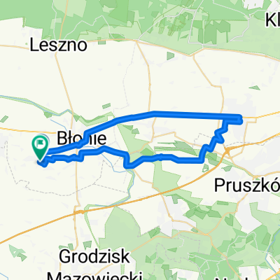
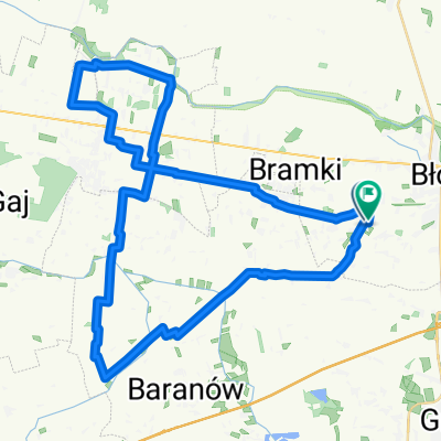
 1. Bramki, Boża Wola, Żaby
- Distance
- 10 km
- Ascent
- 44 m
- Descent
- 40 m
- Location
- Bieniewice, Masovian Voivodeship, Poland
 Świętego Jana do Gimnazjalna
- Distance
- 38.4 km
- Ascent
- 19 m
- Descent
- 67 m
- Location
- Bieniewice, Masovian Voivodeship, Poland
 Kalisz 2015 dzień 1
- Distance
- 132 km
- Ascent
- 224 m
- Descent
- 148 m
- Location
- Bieniewice, Masovian Voivodeship, Poland
 Cztery krańce Polski
- Distance
- 2,949.3 km
- Ascent
- 1,250 m
- Descent
- 1,249 m
- Location
- Bieniewice, Masovian Voivodeship, Poland
 Gimnazjalna 29A do Gimnazjalna 29A
- Distance
- 46.2 km
- Ascent
- 25 m
- Descent
- 27 m
- Location
- Bieniewice, Masovian Voivodeship, Poland
 Dom-Grójec-Dom
- Distance
- 117.5 km
- Ascent
- 160 m
- Descent
- 159 m
- Location
- Bieniewice, Masovian Voivodeship, Poland
 Warszawa przez Grójec
- Distance
- 205 km
- Ascent
- 206 m
- Descent
- 183 m
- Location
- Bieniewice, Masovian Voivodeship, Poland
Open it in the app