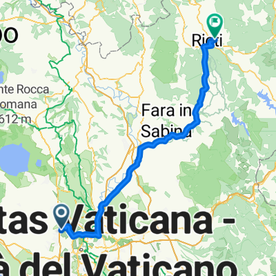
S.Nera - Bracciano - Vico - Bracciano - Ladispoli
A cycling route starting in Valle Santa, Lazio, Italy.
Overview
About this route
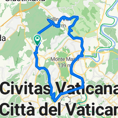
Start from Via di Selva Nera towards Boccea, upon arriving at Bracciano, head towards Vejano, direction Lake Vico, climb up around the lake and return towards Sutri, then get back to Bracciano and descend towards Ladispoli.
- -:--
- Duration
- 150.5 km
- Distance
- 1,316 m
- Ascent
- 1,387 m
- Descent
- ---
- Avg. speed
- ---
- Max. altitude
Route quality
Waytypes & surfaces along the route
Waytypes
Road
28.6 km
(19 %)
Quiet road
24.1 km
(16 %)
Surfaces
Paved
112.9 km
(75 %)
Unpaved
1.5 km
(1 %)
Asphalt
112.9 km
(75 %)
Ground
1.5 km
(1 %)
Undefined
36.1 km
(24 %)
Continue with Bikemap
Use, edit, or download this cycling route
You would like to ride S.Nera - Bracciano - Vico - Bracciano - Ladispoli or customize it for your own trip? Here is what you can do with this Bikemap route:
Free features
- Save this route as favorite or in collections
- Copy & plan your own version of this route
- Split it into stages to create a multi-day tour
- Sync your route with Garmin or Wahoo
Premium features
Free trial for 3 days, or one-time payment. More about Bikemap Premium.
- Navigate this route on iOS & Android
- Export a GPX / KML file of this route
- Create your custom printout (try it for free)
- Download this route for offline navigation
Discover more Premium features.
Get Bikemap PremiumFrom our community
Other popular routes starting in Valle Santa
- Trionfale-Bracciano-Cerveteri-Pineta Sacchetti
- Distance
- 89.9 km
- Ascent
- 408 m
- Descent
- 404 m
- Location
- Valle Santa, Lazio, Italy
- ottavia-formello-ottavia
- Distance
- 46.7 km
- Ascent
- 435 m
- Descent
- 478 m
- Location
- Valle Santa, Lazio, Italy
- ottavia colpsseo
- Distance
- 18 km
- Ascent
- 129 m
- Descent
- 218 m
- Location
- Valle Santa, Lazio, Italy
- Selva Nera - Ovindoli
- Distance
- 151.1 km
- Ascent
- 1,900 m
- Descent
- 604 m
- Location
- Valle Santa, Lazio, Italy
- As Roma Morlupo Calcata Campagnano
- Distance
- 126.1 km
- Ascent
- 883 m
- Descent
- 883 m
- Location
- Valle Santa, Lazio, Italy
- Route 6a: Rom - Campoleone
- Distance
- 53.8 km
- Ascent
- 274 m
- Descent
- 265 m
- Location
- Valle Santa, Lazio, Italy
- Insugherata - Oriolo Romano - Cassia - Corso Francia - Tevere - Monte Ciocci - Monte Mario
- Distance
- 25.8 km
- Ascent
- 242 m
- Descent
- 242 m
- Location
- Valle Santa, Lazio, Italy
- As Roma Giro Esterno di Roma
- Distance
- 100.1 km
- Ascent
- 406 m
- Descent
- 406 m
- Location
- Valle Santa, Lazio, Italy
Open it in the app