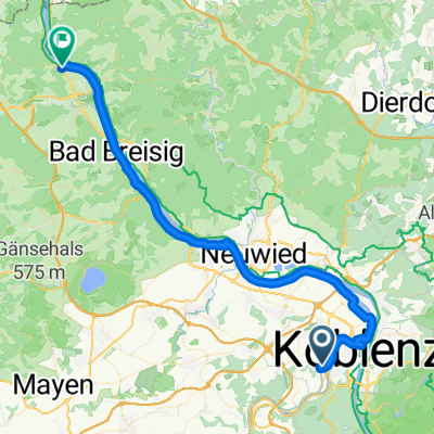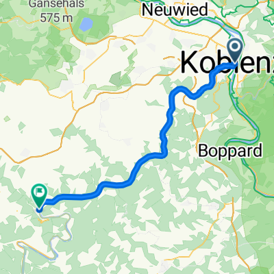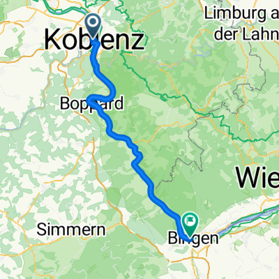
Koblenz naar Hindenburganlage, Bingen am Rhein
- 61.5 km
- 194 m
- 168 m
- Koblenz, Rhineland-Palatinate, Germany
A cycling route starting in Koblenz, Rhineland-Palatinate, Germany.
Overview
Team WEISSER RING on TOUR 5. Etappe, Mittwoch, 23.09.2015
Koblenz - Mainz 09:00 Uhr Start Koblenz 09:25 Uhr Treff Begleitfahrzeuge mit Radteam bei km 9, Koblenzer Straße 16, 56321 Rhens 09:55 Uhr Treff Begleitfahrzeuge mit Radteam bei km 21, Oberstraße - Mainzer Straße / Am Casino, 56154 Boppard 10:40 - 11:00 Uhr Rast bei km 37, Panoramarestaurant Loreley, An der Loreley 1, 56329 St. Goar 11:50 - 12:00 Uhr Fähre bei km 53, Niederheimbach - Lorch 12:10 - 13:10 Uhr Mittagspause bei km 57, Weingut Paul Laquai, Schwalbachstraße 20, 65391 Lorch 14:30 - 15:00 Uhr Rast bei km 84, Kloster Eberbach bei Eichberg 16:05 Uhr Ziel bei km 106 Mainz, Liebfrauenplatzcreated this 10 years ago
Route quality
Path
14.9 km
(14 %)
Quiet road
10.6 km
(10 %)
Paved
89.2 km
(84 %)
Unpaved
3.2 km
(3 %)
Asphalt
86 km
(81 %)
Paved (undefined)
2.1 km
(2 %)
Route highlights
Treff Begleitfahrzeuge mit Radteam bei km 9, Koblenzer Straße 16, 56321 Rhens
Treff Begleitfahrzeuge mit Radteam bei km 21, Oberstraße - Mainzer Straße / Am Casino
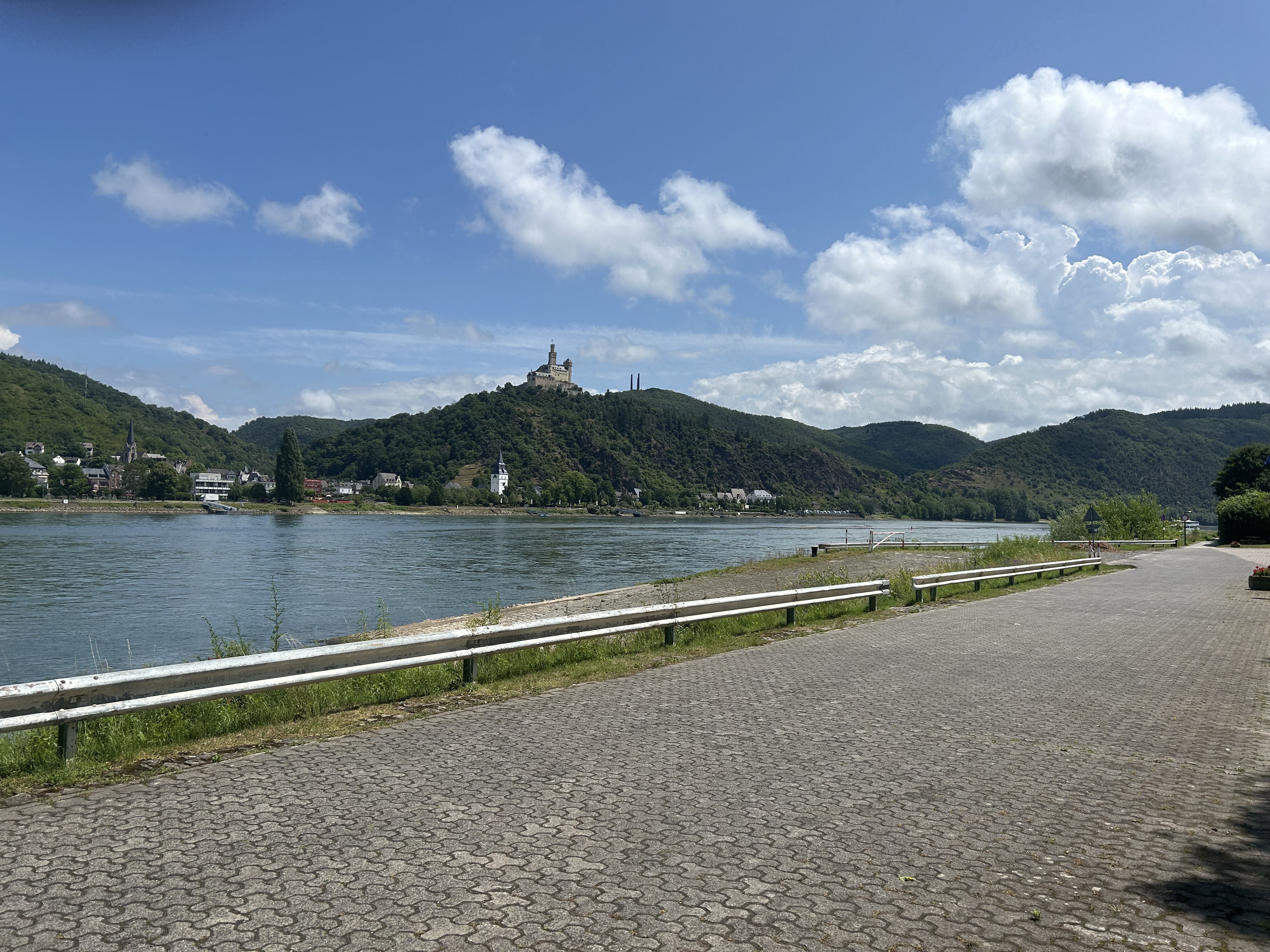
Rast bei km 37 Panoramarestaurant Loreley An der Loreley 1, 56329 Sankt Goar
Fähre Niederheimbach - Lorch bei km 53 11:50 - 12:00
Mittagspause
Rast bei km 84 Kloster Eberbach
Continue with Bikemap
You would like to ride Team WEISSER RING on Tour 2015_5.Etappe_Koblenz-Mainz or customize it for your own trip? Here is what you can do with this Bikemap route:
Free trial for 3 days, or one-time payment. More about Bikemap Premium.
Discover more Premium features.
Get Bikemap PremiumFrom our community
Open it in the app