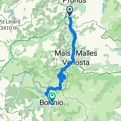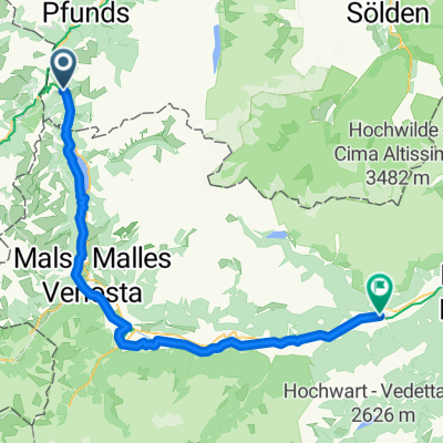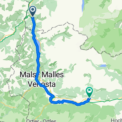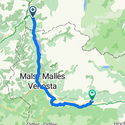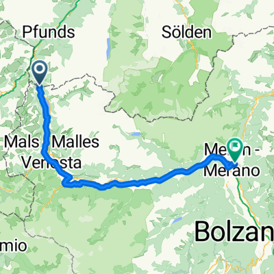
Via Claudia Augusta 08-2025
- 85.5 km
- 792 m
- 1,907 m
- Nauders, Tyrol, Austria
A cycling route starting in Nauders, Tyrol, Austria.
Overview
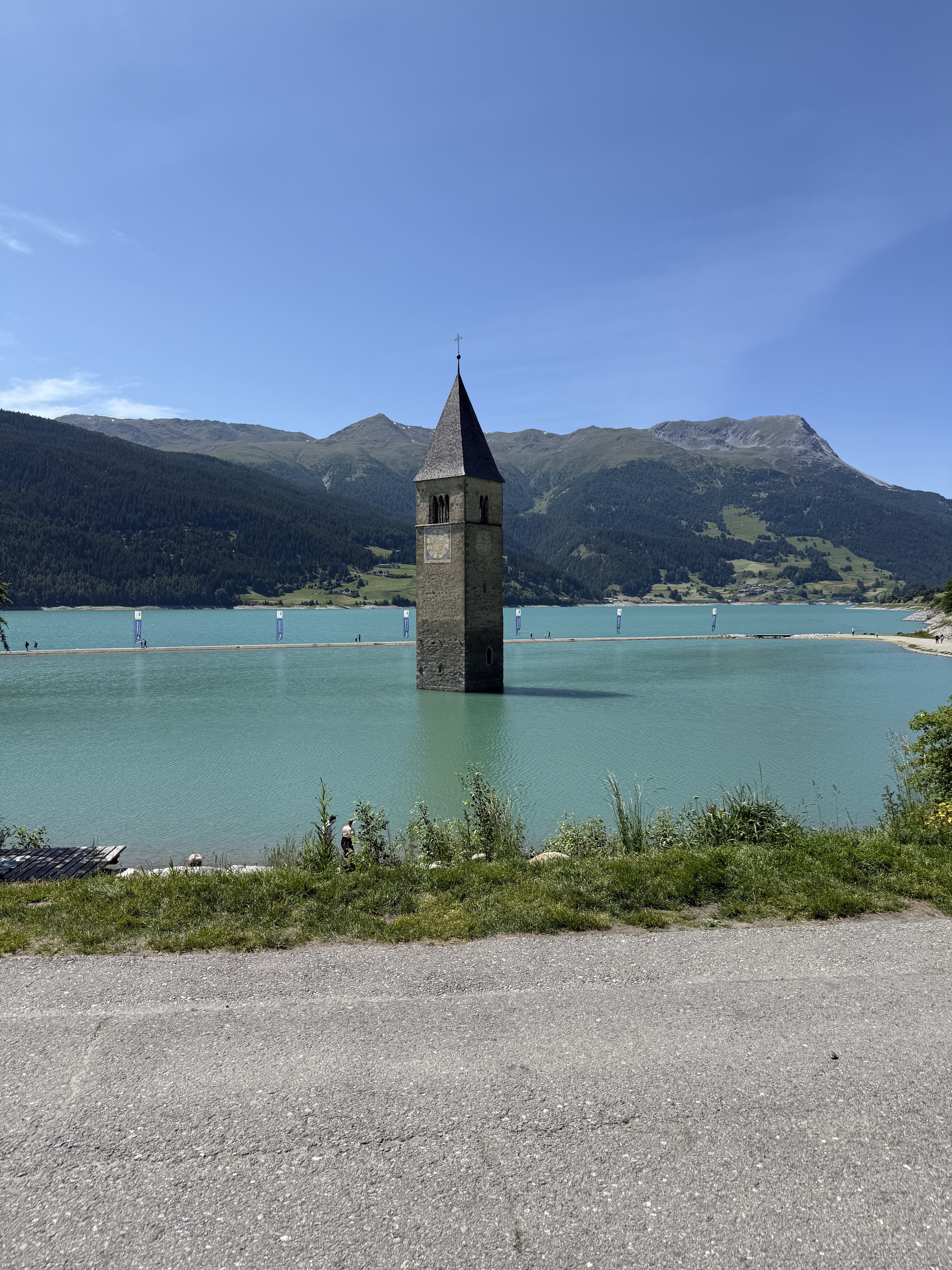
Grandiose, long MTB round with a long push section and an endless downhill into Vinschgau. Return over the Reschensee.
created this 17 years ago
Route highlights


Continue with Bikemap
You would like to ride 3 Ländertour die Uina-Schlucht hoch or customize it for your own trip? Here is what you can do with this Bikemap route:
Free trial for 3 days, or one-time payment. More about Bikemap Premium.
Discover more Premium features.
Get Bikemap PremiumFrom our community
Open it in the app