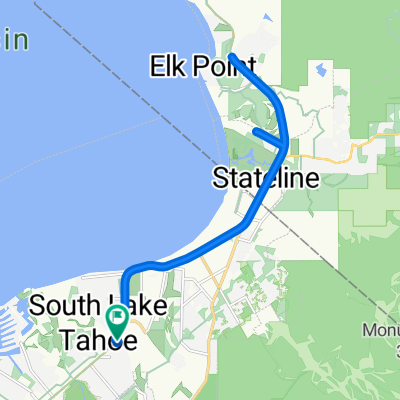
elks point out n back
- 19.7 km
- 187 m
- 187 m
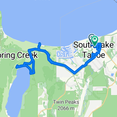
- South Lake Tahoe, California, United States
A cycling route starting in South Lake Tahoe, California, United States.
Overview
Fallen Leaf to Woodfords through Markleeville to Topaz Lake to Carson City and Back to Fallen Leaf Lake
(cloned from route 2916622)
created this 10 years ago
Continue with Bikemap
You would like to ride Fallen Leaf Loop or customize it for your own trip? Here is what you can do with this Bikemap route:
Free trial for 3 days, or one-time payment. More about Bikemap Premium.
Discover more Premium features.
Get Bikemap PremiumFrom our community
Open it in the app