2015_08_Gacko_ŠćepanPolje
A cycling route starting in Gacko, Republika Srpska, Bosnia and Herzegovina.
Overview
About this route
Through the heart of the Dinaric Alps to Durrës
- -:--
- Duration
- 78.6 km
- Distance
- 845 m
- Ascent
- 1,340 m
- Descent
- ---
- Avg. speed
- ---
- Max. altitude
Route quality
Waytypes & surfaces along the route
Waytypes
Track
2.4 km
(3 %)
Quiet road
0.8 km
(1 %)
Surfaces
Paved
73.8 km
(94 %)
Unpaved
2.4 km
(3 %)
Asphalt
73.8 km
(94 %)
Gravel
2.4 km
(3 %)
Undefined
2.4 km
(3 %)
Continue with Bikemap
Use, edit, or download this cycling route
You would like to ride 2015_08_Gacko_ŠćepanPolje or customize it for your own trip? Here is what you can do with this Bikemap route:
Free features
- Save this route as favorite or in collections
- Copy & plan your own version of this route
- Sync your route with Garmin or Wahoo
Premium features
Free trial for 3 days, or one-time payment. More about Bikemap Premium.
- Navigate this route on iOS & Android
- Export a GPX / KML file of this route
- Create your custom printout (try it for free)
- Download this route for offline navigation
Discover more Premium features.
Get Bikemap PremiumFrom our community
Other popular routes starting in Gacko
Volujak - Velika Vlasulja- Distance
- 15.5 km
- Ascent
- 1,688 m
- Descent
- 160 m
- Location
- Gacko, Republika Srpska, Bosnia and Herzegovina
Čemerno - Vlaholje- Distance
- 54.9 km
- Ascent
- 947 m
- Descent
- 1,045 m
- Location
- Gacko, Republika Srpska, Bosnia and Herzegovina
donje bare - tjentiste- Distance
- 66 km
- Ascent
- 1,416 m
- Descent
- 2,362 m
- Location
- Gacko, Republika Srpska, Bosnia and Herzegovina
Gacko nach Mostar- Distance
- 91.4 km
- Ascent
- 1,050 m
- Descent
- 1,940 m
- Location
- Gacko, Republika Srpska, Bosnia and Herzegovina
BiH Dramešina-Ravna Greda- Distance
- 15.2 km
- Ascent
- 653 m
- Descent
- 494 m
- Location
- Gacko, Republika Srpska, Bosnia and Herzegovina
Klinje Lake nach Mostar- Distance
- 97.6 km
- Ascent
- 600 m
- Descent
- 1,607 m
- Location
- Gacko, Republika Srpska, Bosnia and Herzegovina
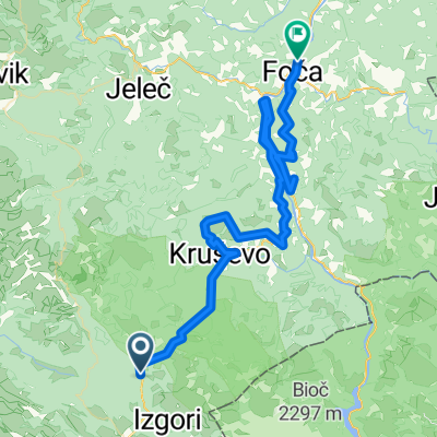
Čemerno-Trnovačko Jezero- Distance
- 26.6 km
- Ascent
- 964 m
- Descent
- 626 m
- Location
- Gacko, Republika Srpska, Bosnia and Herzegovina
Dzień 4: Klinje - Stari Dud- Distance
- 55.5 km
- Ascent
- 1,097 m
- Descent
- 1,743 m
- Location
- Gacko, Republika Srpska, Bosnia and Herzegovina
Open it in the app


