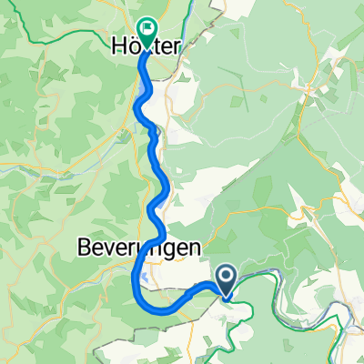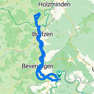
Worthweg 5, Beverungen nach Worthweg 5, Beverungen
- 22.2 km
- 370 m
- 367 m
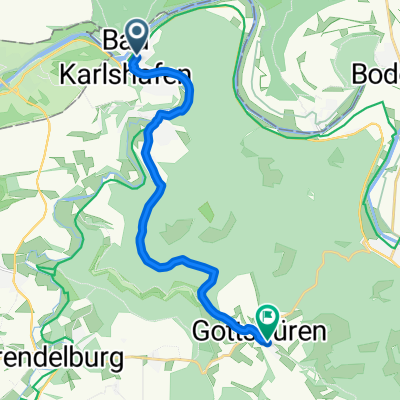
- Bad Karlshafen, Lower Saxony, Germany
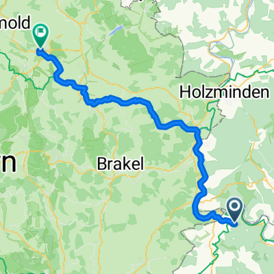
A cycling route starting in Bad Karlshafen, Lower Saxony, Germany.
Overview
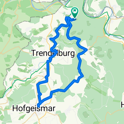
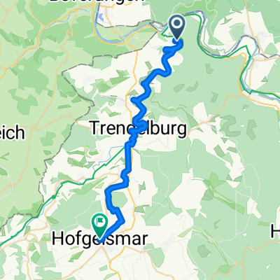
Bad Karlshafen-Grohnder Fähthaus
created this 10 years ago
Route quality
Track
25 km
(30 %)
Cycleway
16.7 km
(20 %)
Paved
61.7 km
(74 %)
Unpaved
1.7 km
(2 %)
Asphalt
60.9 km
(73 %)
Gravel
1.7 km
(2 %)
Route highlights
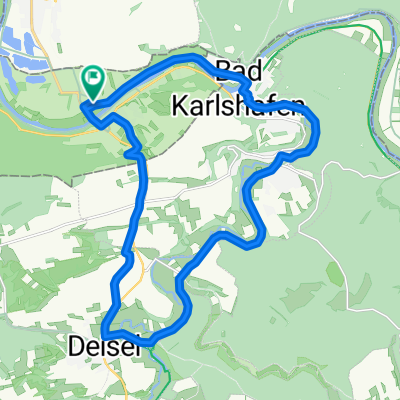
fährhaus
Continue with Bikemap
You would like to ride tuor 2 or customize it for your own trip? Here is what you can do with this Bikemap route:
Free trial for 3 days, or one-time payment. More about Bikemap Premium.
Discover more Premium features.
Get Bikemap PremiumFrom our community
Open it in the app