

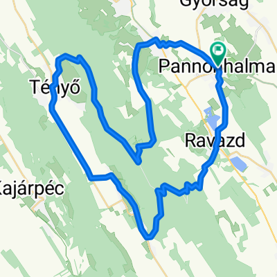
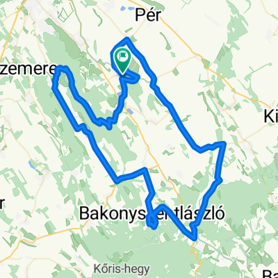
Május 1-Pannonhalma-Fenyőfő-Panonhalma
A cycling route starting in Pannonhalma, Győr-Moson-Sopron, Hungary.
Overview
About this route
Exciting route, complemented by the Cuha gorge
- -:--
- Duration
- 79.3 km
- Distance
- 465 m
- Ascent
- 474 m
- Descent
- ---
- Avg. speed
- ---
- Max. altitude

Route quality
Waytypes & surfaces along the route
Waytypes
Road
30.9 km
(39 %)
Quiet road
16.7 km
(21 %)
Surfaces
Paved
57.1 km
(72 %)
Unpaved
5.6 km
(7 %)
Asphalt
57.1 km
(72 %)
Gravel
4 km
(5 %)
Continue with Bikemap
Use, edit, or download this cycling route
You would like to ride Május 1-Pannonhalma-Fenyőfő-Panonhalma or customize it for your own trip? Here is what you can do with this Bikemap route:
Free features
- Save this route as favorite or in collections
- Copy & plan your own version of this route
- Sync your route with Garmin or Wahoo
Premium features
Free trial for 3 days, or one-time payment. More about Bikemap Premium.
- Navigate this route on iOS & Android
- Export a GPX / KML file of this route
- Create your custom printout (try it for free)
- Download this route for offline navigation
Discover more Premium features.
Get Bikemap PremiumFrom our community
Other popular routes starting in Pannonhalma
 73km_750m_PHalma-Csesznek-Zirc-Eplény
- Distance
- 73.3 km
- Ascent
- 680 m
- Descent
- 639 m
- Location
- Pannonhalma, Győr-Moson-Sopron, Hungary
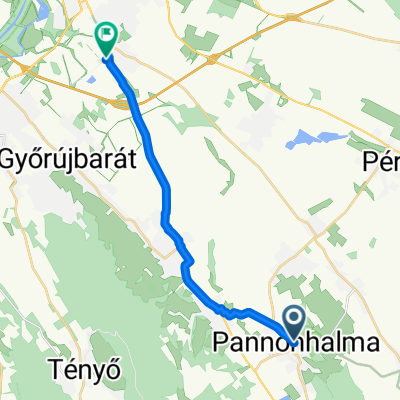
 8224-es mellékút, Nyalka - Tihanyi Árpád út, Győr
- Distance
- 22.5 km
- Ascent
- 59 m
- Descent
- 147 m
- Location
- Pannonhalma, Győr-Moson-Sopron, Hungary
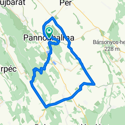
 Pannonhalma ring hosszú
- Distance
- 102.3 km
- Ascent
- 648 m
- Descent
- 651 m
- Location
- Pannonhalma, Győr-Moson-Sopron, Hungary
 Váralja utca, Pannonhalma - Váralja utca, Pannonhalma
- Distance
- 43.8 km
- Ascent
- 569 m
- Descent
- 570 m
- Location
- Pannonhalma, Győr-Moson-Sopron, Hungary
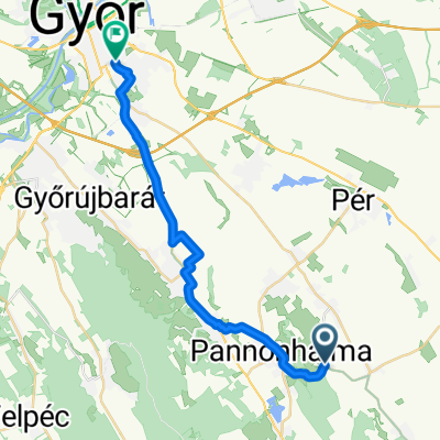
 györ pannonhalma
- Distance
- 15.4 km
- Ascent
- 4 m
- Descent
- 55 m
- Location
- Pannonhalma, Győr-Moson-Sopron, Hungary
 Pannonhalma ring hosszú
- Distance
- 102.3 km
- Ascent
- 649 m
- Descent
- 652 m
- Location
- Pannonhalma, Győr-Moson-Sopron, Hungary
 Pannonhalma ring hosszú
- Distance
- 102.4 km
- Ascent
- 648 m
- Descent
- 651 m
- Location
- Pannonhalma, Győr-Moson-Sopron, Hungary
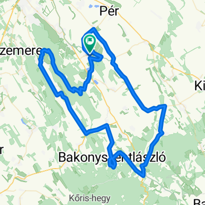
 Pannonhalma ring 2026
- Distance
- 57 km
- Ascent
- 372 m
- Descent
- 375 m
- Location
- Pannonhalma, Győr-Moson-Sopron, Hungary
Open it in the app