Bernadia-Monteaperta
- 38.3 km
- 723 m
- 723 m
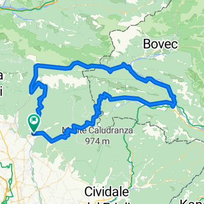
- Nimis, Friuli Venezia Giulia, Italy
A cycling route starting in Nimis, Friuli Venezia Giulia, Italy.
Overview
Three main ascents characterize the route: near Monte Lonza, Monte Pridolina, and the pass of Monte Namlen. The old military road connecting the locality of Zore with Subit is the wildest and most fascinating part, but the condition of the paved surface is mediocre, so we will have to consider these approximately 8 km, partly climbing to the pass and the subsequent descent, as if they were unpaved roads, at least up to Subit.
created this 11 years ago
Route quality
Road
45.9 km
70 %
Quiet road
12.5 km
19 %
Paved
44.6 km
(68 %)
Unpaved
2.6 km
(4 %)
Asphalt
44.6 km
68 %
Gravel
2.6 km
4 %
Undefined
18.4 km
28 %
Continue with Bikemap
You would like to ride Nimis - Monteaperta - Prossenicco - Nimis or customize it for your own trip? Here is what you can do with this Bikemap route:
Free trial for 3 days, or one-time payment. More about Bikemap Premium.
Discover more Premium features.
Get Bikemap PremiumFrom our community
Open it in the app