
Trasa sobotnia
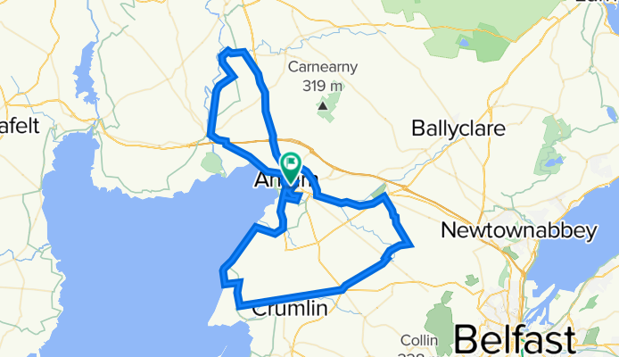
A cycling route starting in Antrim, Northern Ireland, United Kingdom.
Overview
About this route
Rather flat route, perfect for rides on Saturday or Sunday.
- -:--
- Duration
- 80.7 km
- Distance
- 300 m
- Ascent
- 301 m
- Descent
- ---
- Avg. speed
- ---
- Max. altitude

Route quality
Waytypes & surfaces along the route
Waytypes
Quiet road
24.2 km
(30 %)
Road
18.6 km
(23 %)
Surfaces
Paved
64.6 km
(80 %)
Unpaved
0.8 km
(1 %)
Asphalt
62.1 km
(77 %)
Paved (undefined)
2.4 km
(3 %)
Continue with Bikemap
Use, edit, or download this cycling route
You would like to ride Trasa sobotnia or customize it for your own trip? Here is what you can do with this Bikemap route:
Free features
- Save this route as favorite or in collections
- Copy & plan your own version of this route
- Split it into stages to create a multi-day tour
- Sync your route with Garmin or Wahoo
Premium features
Free trial for 3 days, or one-time payment. More about Bikemap Premium.
- Navigate this route on iOS & Android
- Export a GPX / KML file of this route
- Create your custom printout (try it for free)
- Download this route for offline navigation
Discover more Premium features.
Get Bikemap PremiumFrom our community
Other popular routes starting in Antrim
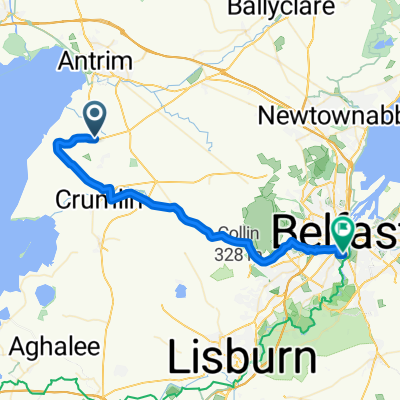 international airport to belfast
- Distance
- 31.3 km
- Ascent
- 293 m
- Descent
- 347 m
- Location
- Antrim, Northern Ireland, United Kingdom
 Tour de West Ireland 2025 - dzień 1
- Distance
- 84.8 km
- Ascent
- 845 m
- Descent
- 743 m
- Location
- Antrim, Northern Ireland, United Kingdom
 Training Loop for IM UK
- Distance
- 150.4 km
- Ascent
- 955 m
- Descent
- 957 m
- Location
- Antrim, Northern Ireland, United Kingdom
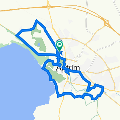
 Menin Road 80 to Oriel Road 74
- Distance
- 16.7 km
- Ascent
- 145 m
- Descent
- 142 m
- Location
- Antrim, Northern Ireland, United Kingdom
 3A Corbally Road, Crumlin to 22 Moneycarragh Road, Downpatrick
- Distance
- 62.5 km
- Ascent
- 560 m
- Descent
- 527 m
- Location
- Antrim, Northern Ireland, United Kingdom
 Trasa sobotnia
- Distance
- 80.7 km
- Ascent
- 300 m
- Descent
- 301 m
- Location
- Antrim, Northern Ireland, United Kingdom
 Ierland in de regen
- Distance
- 536 km
- Ascent
- 305 m
- Descent
- 355 m
- Location
- Antrim, Northern Ireland, United Kingdom
 Atlantic Avenue 5 to Matapan Avenue 12
- Distance
- 19.5 km
- Ascent
- 445 m
- Descent
- 464 m
- Location
- Antrim, Northern Ireland, United Kingdom
Open it in the app