20130808_Mudau nach Roßdorf
- 139.1 km
- 668 m
- 923 m
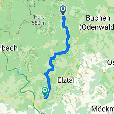
- Mudau, Baden-Wurttemberg, Germany
A cycling route starting in Mudau, Baden-Wurttemberg, Germany.
Overview
Toward the pilgrimage church in Walddürrn
created this 10 years ago
Route quality
Road
20.1 km
(75 %)
Quiet road
5.6 km
(21 %)
Paved
20.9 km
(78 %)
Asphalt
20.9 km
(78 %)
Undefined
5.9 km
(22 %)
Continue with Bikemap
You would like to ride Tandem WE 2015 Sonntag or customize it for your own trip? Here is what you can do with this Bikemap route:
Free trial for 3 days, or one-time payment. More about Bikemap Premium.
Discover more Premium features.
Get Bikemap PremiumFrom our community
Open it in the app