
Valley of fire Sur la Route
A cycling route starting in Henderson, Nevada, United States.
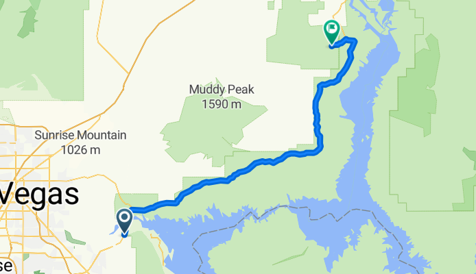
Overview
About this route
trip March/April 2015
- -:--
- Duration
- 77.4 km
- Distance
- 770 m
- Ascent
- 723 m
- Descent
- ---
- Avg. speed
- ---
- Max. altitude
Route quality
Waytypes & surfaces along the route
Surfaces
Paved
76.7 km
(99 %)
Asphalt
76.7 km
(99 %)
Undefined
0.8 km
(1 %)
Route highlights
Points of interest along the route
Point of interest after 64 km
Continue with Bikemap
Use, edit, or download this cycling route
You would like to ride Valley of fire Sur la Route or customize it for your own trip? Here is what you can do with this Bikemap route:
Free features
- Save this route as favorite or in collections
- Copy & plan your own version of this route
- Sync your route with Garmin or Wahoo
Premium features
Free trial for 3 days, or one-time payment. More about Bikemap Premium.
- Navigate this route on iOS & Android
- Export a GPX / KML file of this route
- Create your custom printout (try it for free)
- Download this route for offline navigation
Discover more Premium features.
Get Bikemap PremiumFrom our community
Other popular routes starting in Henderson
 Ironman Las Vegas 70.3 WC
- Distance
- 90 km
- Ascent
- 868 m
- Descent
- 669 m
- Location
- Henderson, Nevada, United States
 Valley of fire Sur la Route
- Distance
- 77.4 km
- Ascent
- 770 m
- Descent
- 723 m
- Location
- Henderson, Nevada, United States
 Union Pacific Trail Ride
- Distance
- 11.6 km
- Ascent
- 140 m
- Descent
- 0 m
- Location
- Henderson, Nevada, United States
 Relaxed route in Henderson
- Distance
- 10.1 km
- Ascent
- 65 m
- Descent
- 66 m
- Location
- Henderson, Nevada, United States
 Vallée de feux Las Vegas 86.7 km
- Distance
- 86.8 km
- Ascent
- 914 m
- Descent
- 689 m
- Location
- Henderson, Nevada, United States
 ride one
- Distance
- 2.2 km
- Ascent
- 118 m
- Descent
- 119 m
- Location
- Henderson, Nevada, United States
 Extensive Evening Track In Henderson
- Distance
- 10.7 km
- Ascent
- 88 m
- Descent
- 91 m
- Location
- Henderson, Nevada, United States
 Relaxed route in Henderson
- Distance
- 15.1 km
- Ascent
- 107 m
- Descent
- 102 m
- Location
- Henderson, Nevada, United States
Open it in the app