
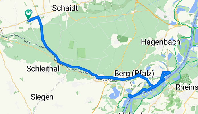
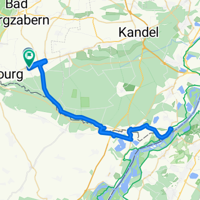
Kapsweyer - Rhein Tour
A cycling route starting in Kapsweyer, Rhineland-Palatinate, Germany.
Overview
About this route
Kapsweyer - Bienwaldmühle - Scheibenhardt - Neuburg - Rhein und zurück.
- -:--
- Duration
- 60.2 km
- Distance
- 101 m
- Ascent
- 101 m
- Descent
- ---
- Avg. speed
- ---
- Max. altitude
Route quality
Waytypes & surfaces along the route
Waytypes
Road
33.1 km
(55 %)
Track
9.4 km
(16 %)
Surfaces
Paved
53.1 km
(88 %)
Unpaved
2.5 km
(4 %)
Asphalt
49.4 km
(82 %)
Paved (undefined)
3.8 km
(6 %)
Continue with Bikemap
Use, edit, or download this cycling route
You would like to ride Kapsweyer - Rhein Tour or customize it for your own trip? Here is what you can do with this Bikemap route:
Free features
- Save this route as favorite or in collections
- Copy & plan your own version of this route
- Sync your route with Garmin or Wahoo
Premium features
Free trial for 3 days, or one-time payment. More about Bikemap Premium.
- Navigate this route on iOS & Android
- Export a GPX / KML file of this route
- Create your custom printout (try it for free)
- Download this route for offline navigation
Discover more Premium features.
Get Bikemap PremiumFrom our community
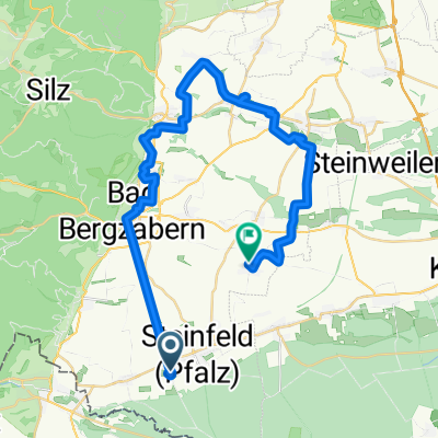
Other popular routes starting in Kapsweyer
 Vogesenstraße 4, Kapsweyer nach Naturfreundehaus 1, Kandel
- Distance
- 14.6 km
- Ascent
- 40 m
- Descent
- 53 m
- Location
- Kapsweyer, Rhineland-Palatinate, Germany
 Bahnhofstraße 28A, Kapsweyer nach K24 19, Dierbach
- Distance
- 41.6 km
- Ascent
- 739 m
- Descent
- 700 m
- Location
- Kapsweyer, Rhineland-Palatinate, Germany
 Kapsweyer Wissenbourg via Schweigen
- Distance
- 8.6 km
- Ascent
- 64 m
- Descent
- 57 m
- Location
- Kapsweyer, Rhineland-Palatinate, Germany
 Vogesenstraße 4, Kapsweyer nach Naturfreundehaus 1, Kandel
- Distance
- 14.7 km
- Ascent
- 41 m
- Descent
- 53 m
- Location
- Kapsweyer, Rhineland-Palatinate, Germany
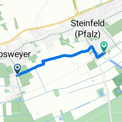 Bahnhofstraße 33, Kapsweyer nach Riedstraße 11, Steinfeld
- Distance
- 1.7 km
- Ascent
- 17 m
- Descent
- 4 m
- Location
- Kapsweyer, Rhineland-Palatinate, Germany
 Rennrad
- Distance
- 56.3 km
- Ascent
- 130 m
- Descent
- 133 m
- Location
- Kapsweyer, Rhineland-Palatinate, Germany
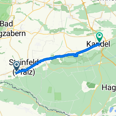 Bahnhofstraße 28A, Kapsweyer nach Rheinstraße 11B, Kandel
- Distance
- 15.4 km
- Ascent
- 82 m
- Descent
- 98 m
- Location
- Kapsweyer, Rhineland-Palatinate, Germany
 Forest
- Distance
- 14.4 km
- Ascent
- 51 m
- Descent
- 53 m
- Location
- Kapsweyer, Rhineland-Palatinate, Germany
Open it in the app