

LUDWIGSTURM
A cycling route starting in Münchweiler an der Alsenz, Rhineland-Palatinate, Germany.
Overview
About this route
The Ludwig Tower at the summit of Donnersberg is only open on Sundays until around 16:00. Without the tower, the view is unfortunately zero, as trees block the sight. The ascent from Bastenhaus is less steep than from Dannenfels directly. The return route from Steinbach to Imsbach is only possible with a trekking or MTB. With a road bike, the road is again the option here. Or you do not descend to Dannenfels, but return to Münchweiler via Marienthal and Falkenstein.
- -:--
- Duration
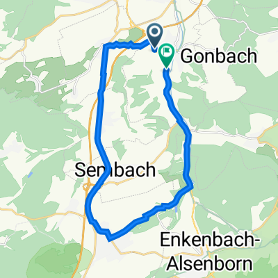
- 37.3 km
- Distance
- 774 m
- Ascent
- 767 m
- Descent
- ---
- Avg. speed
- 680 m
- Max. altitude
Route quality
Waytypes & surfaces along the route
Waytypes
Track
8.2 km
(22 %)
Road
6.7 km
(18 %)
Surfaces
Paved
28.4 km
(76 %)
Unpaved
4.5 km
(12 %)
Asphalt
25.8 km
(69 %)
Gravel
3.7 km
(10 %)
Continue with Bikemap
Use, edit, or download this cycling route
You would like to ride LUDWIGSTURM or customize it for your own trip? Here is what you can do with this Bikemap route:
Free features
- Save this route as favorite or in collections
- Copy & plan your own version of this route
- Sync your route with Garmin or Wahoo
Premium features
Free trial for 3 days, or one-time payment. More about Bikemap Premium.
- Navigate this route on iOS & Android
- Export a GPX / KML file of this route
- Create your custom printout (try it for free)
- Download this route for offline navigation
Discover more Premium features.
Get Bikemap PremiumFrom our community
Other popular routes starting in Münchweiler an der Alsenz
 Schöne Feierabendrunde
- Distance
- 16.8 km
- Ascent
- 127 m
- Descent
- 149 m
- Location
- Münchweiler an der Alsenz, Rhineland-Palatinate, Germany
 Kleine Runde über Winnweiler und Langmeil
- Distance
- 14.6 km
- Ascent
- 138 m
- Descent
- 138 m
- Location
- Münchweiler an der Alsenz, Rhineland-Palatinate, Germany
 Anonyme Radler 3 Münchweiler - Wilgartswiesen
- Distance
- 51.7 km
- Ascent
- 593 m
- Descent
- 633 m
- Location
- Münchweiler an der Alsenz, Rhineland-Palatinate, Germany
 Münchweiler - Ramsen - Göllheim
- Distance
- 42.9 km
- Ascent
- 371 m
- Descent
- 374 m
- Location
- Münchweiler an der Alsenz, Rhineland-Palatinate, Germany
 Münchweiler-Johaniskreuz
- Distance
- 85.1 km
- Ascent
- 780 m
- Descent
- 789 m
- Location
- Münchweiler an der Alsenz, Rhineland-Palatinate, Germany
 Mühlstraße 14, Münchweiler an der Alsenz nach B48, Münchweiler an der Alsenz
- Distance
- 18.3 km
- Ascent
- 113 m
- Descent
- 107 m
- Location
- Münchweiler an der Alsenz, Rhineland-Palatinate, Germany
 Münchweiler - Breunigweiler - Sippersfeld - Retzberghütte - Neuhemsbach
- Distance
- 25.5 km
- Ascent
- 189 m
- Descent
- 189 m
- Location
- Münchweiler an der Alsenz, Rhineland-Palatinate, Germany
 LUDWIGSTURM
- Distance
- 37.3 km
- Ascent
- 774 m
- Descent
- 767 m
- Location
- Münchweiler an der Alsenz, Rhineland-Palatinate, Germany
Open it in the app