
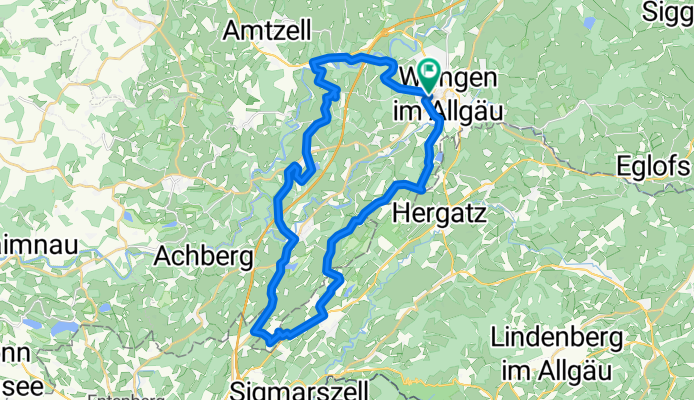
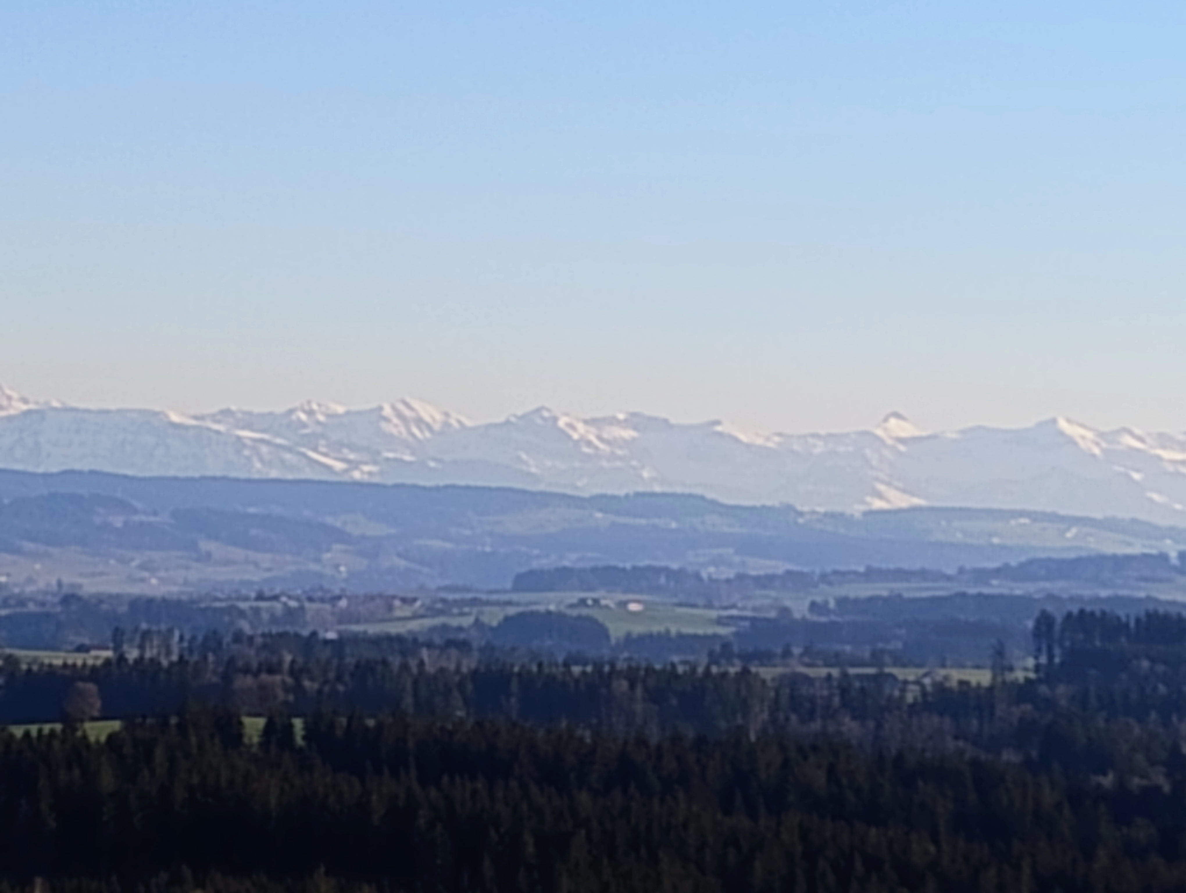
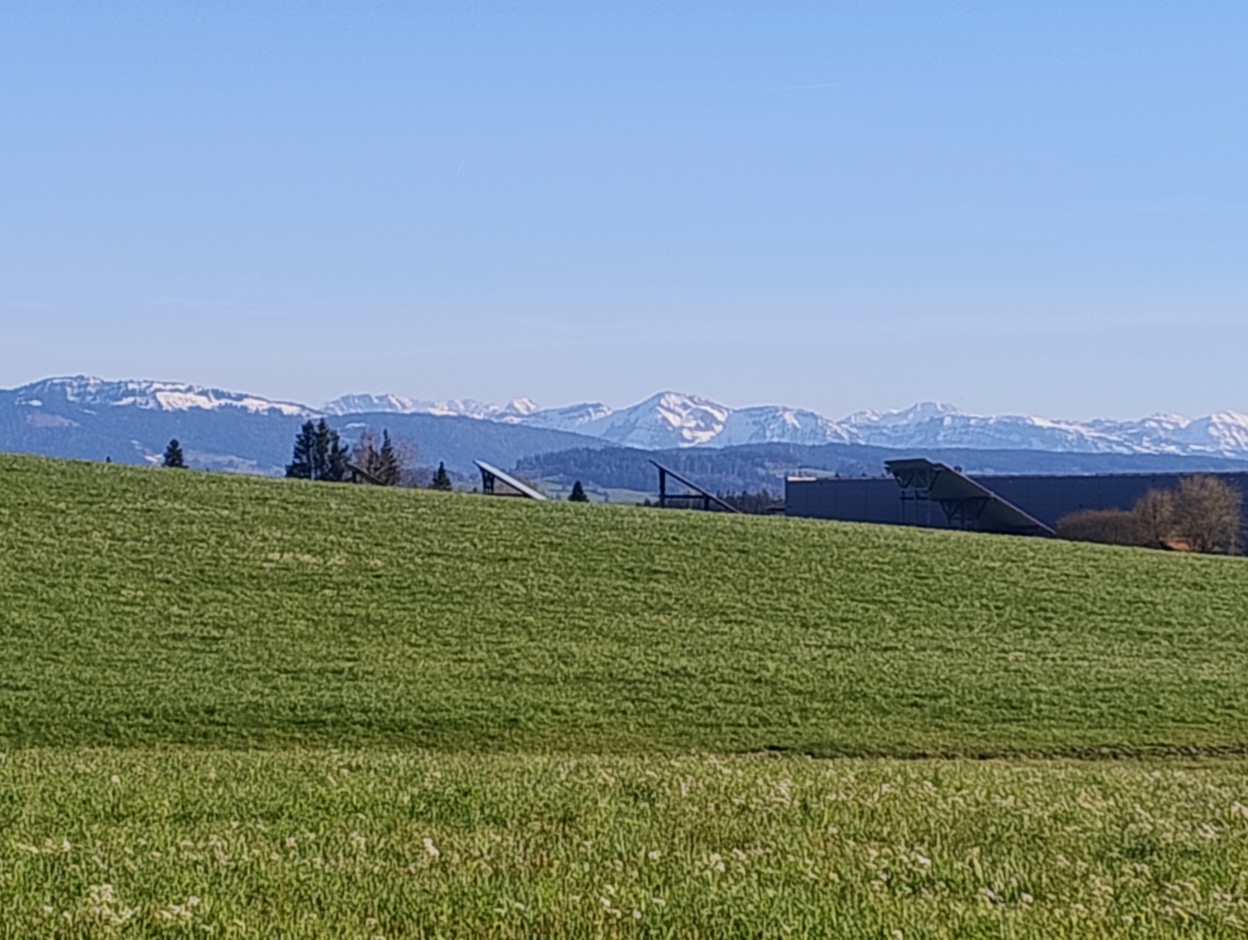
Wangen - Neuravensburg - Hergensweiler - Wangen.gpx
A cycling route starting in Wangen im Allgäu, Baden-Württemberg, Germany.
Overview
About this route
TEASI track
- -:--
- Duration
- 35 km
- Distance
- 220 m
- Ascent
- 221 m
- Descent
- ---
- Avg. speed
- ---
- Max. altitude

Route quality
Waytypes & surfaces along the route
Waytypes
Quiet road
18.2 km
(52 %)
Road
7.1 km
(20 %)
Surfaces
Paved
32.1 km
(92 %)
Unpaved
1.2 km
(4 %)
Asphalt
31.6 km
(90 %)
Unpaved (undefined)
1 km
(3 %)
Continue with Bikemap
Use, edit, or download this cycling route
You would like to ride Wangen - Neuravensburg - Hergensweiler - Wangen.gpx or customize it for your own trip? Here is what you can do with this Bikemap route:
Free features
- Save this route as favorite or in collections
- Copy & plan your own version of this route
- Sync your route with Garmin or Wahoo
Premium features
Free trial for 3 days, or one-time payment. More about Bikemap Premium.
- Navigate this route on iOS & Android
- Export a GPX / KML file of this route
- Create your custom printout (try it for free)
- Download this route for offline navigation
Discover more Premium features.
Get Bikemap PremiumFrom our community
Other popular routes starting in Wangen im Allgäu
 Deutsche Strassenmeisterschaft 2013 Frauen / Elite Männer
- Distance
- 42.2 km
- Ascent
- 415 m
- Descent
- 415 m
- Location
- Wangen im Allgäu, Baden-Württemberg, Germany
 36km Christazhofen Siggen (mit Sturz (Gravel))
- Distance
- 35.8 km
- Ascent
- 580 m
- Descent
- 578 m
- Location
- Wangen im Allgäu, Baden-Württemberg, Germany
 37km Riedhirsch - Lindenberg (Gravel)
- Distance
- 36.2 km
- Ascent
- 477 m
- Descent
- 477 m
- Location
- Wangen im Allgäu, Baden-Württemberg, Germany
 63km Amtzell Kisslegg Siggen WG
- Distance
- 63.5 km
- Ascent
- 897 m
- Descent
- 907 m
- Location
- Wangen im Allgäu, Baden-Württemberg, Germany
 58km Amtzell-Kisslegg-Siggen-WG
- Distance
- 56.2 km
- Ascent
- 855 m
- Descent
- 854 m
- Location
- Wangen im Allgäu, Baden-Württemberg, Germany
 Wangen trail
- Distance
- 28.3 km
- Ascent
- 295 m
- Descent
- 268 m
- Location
- Wangen im Allgäu, Baden-Württemberg, Germany
 46km Ratzenried - Christatzhofen - Eisenharz - Eglofs (Gravel)
- Distance
- 46.4 km
- Ascent
- 805 m
- Descent
- 813 m
- Location
- Wangen im Allgäu, Baden-Württemberg, Germany
 MTB Allgäu Rundfahrt
- Distance
- 47 km
- Ascent
- 704 m
- Descent
- 702 m
- Location
- Wangen im Allgäu, Baden-Württemberg, Germany
Open it in the app