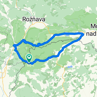
2. kerékpáros túra - 3. etap
- 78.5 km
- 195 m
- 406 m
- Rudabánya, Borsod-Abauj Zemplen county, Hungary
A cycling route starting in Rudabánya, Borsod-Abauj Zemplen county, Hungary.
Overview
created this 10 years ago
Route quality
Quiet road
29 km
(37 %)
Track
4.7 km
(6 %)
Paved
36.9 km
(47 %)
Unpaved
0.8 km
(1 %)
Asphalt
34.5 km
(44 %)
Paved (undefined)
2.4 km
(3 %)
Continue with Bikemap
You would like to ride 2. kerékpáros túra - 3. etap or customize it for your own trip? Here is what you can do with this Bikemap route:
Free trial for 3 days, or one-time payment. More about Bikemap Premium.
Discover more Premium features.
Get Bikemap PremiumFrom our community
Open it in the app