Moderate Route in Karlsruhe
- 42.5 km
- 489 m
- 463 m
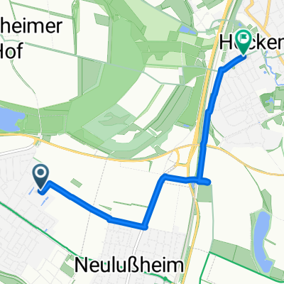
- Altlußheim, Baden-Wurttemberg, Germany
A cycling route starting in Altlußheim, Baden-Wurttemberg, Germany.
Overview
ebene Strecke bis auf den Kalmit 500 hm Der grösste Anteil der Strecke sind Rad und befestigte Feldwege
created this 16 years ago
Continue with Bikemap
You would like to ride Altlußheim Kalmit Willi or customize it for your own trip? Here is what you can do with this Bikemap route:
Free trial for 3 days, or one-time payment. More about Bikemap Premium.
Discover more Premium features.
Get Bikemap PremiumFrom our community
Open it in the app