

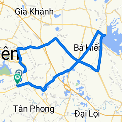
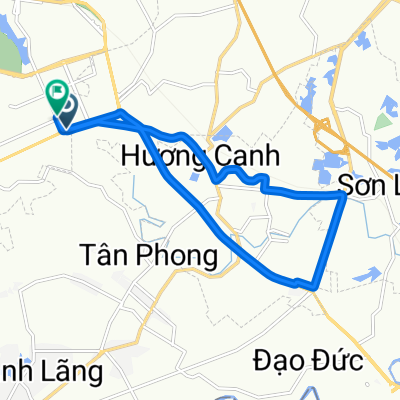
Way to Tamdao
A cycling route starting in Hương Canh, Vĩnh Phúc Province, Vietnam.
Overview
About this route
- -:--
- Duration
- 23.3 km
- Distance
- 969 m
- Ascent
- 35 m
- Descent
- ---
- Avg. speed
- ---
- Max. altitude
Route highlights
Points of interest along the route
Point of interest after 5.4 km
Continue with Bikemap
Use, edit, or download this cycling route
You would like to ride Way to Tamdao or customize it for your own trip? Here is what you can do with this Bikemap route:
Free features
- Save this route as favorite or in collections
- Copy & plan your own version of this route
- Sync your route with Garmin or Wahoo
Premium features
Free trial for 3 days, or one-time payment. More about Bikemap Premium.
- Navigate this route on iOS & Android
- Export a GPX / KML file of this route
- Create your custom printout (try it for free)
- Download this route for offline navigation
Discover more Premium features.
Get Bikemap PremiumFrom our community
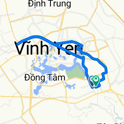
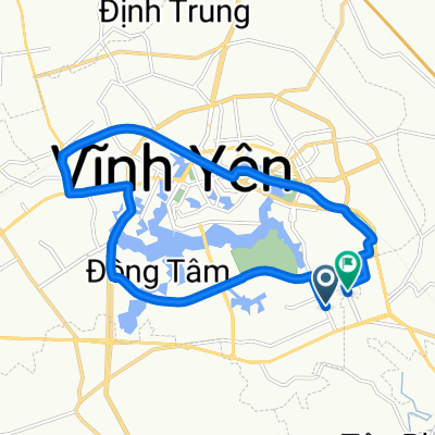
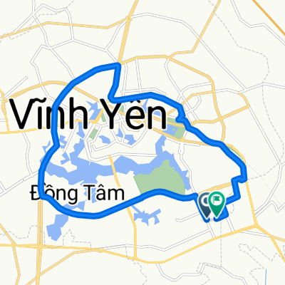
Other popular routes starting in Hương Canh
 Way to Tamdao
- Distance
- 23.3 km
- Ascent
- 969 m
- Descent
- 35 m
- Location
- Hương Canh, Vĩnh Phúc Province, Vietnam
 Blistering ride
- Distance
- 30.4 km
- Ascent
- 56 m
- Descent
- 31 m
- Location
- Hương Canh, Vĩnh Phúc Province, Vietnam
 Cracking ride1
- Distance
- 17.4 km
- Ascent
- 49 m
- Descent
- 26 m
- Location
- Hương Canh, Vĩnh Phúc Province, Vietnam
 Sporty route
- Distance
- 17.6 km
- Ascent
- 42 m
- Descent
- 24 m
- Location
- Hương Canh, Vĩnh Phúc Province, Vietnam
 Supersonic route
- Distance
- 17 km
- Ascent
- 46 m
- Descent
- 23 m
- Location
- Hương Canh, Vĩnh Phúc Province, Vietnam
 High-speed route
- Distance
- 18.8 km
- Ascent
- 48 m
- Descent
- 25 m
- Location
- Hương Canh, Vĩnh Phúc Province, Vietnam
 High-speed route
- Distance
- 14.5 km
- Ascent
- 30 m
- Descent
- 3 m
- Location
- Hương Canh, Vĩnh Phúc Province, Vietnam
 High-speed route
- Distance
- 29.9 km
- Ascent
- 65 m
- Descent
- 36 m
- Location
- Hương Canh, Vĩnh Phúc Province, Vietnam
Open it in the app