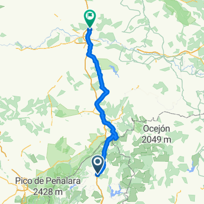
Buitrago-Gascones-Horcajo 28.03.15
- 32.6 km
- 396 m
- 395 m
- Buitrago del Lozoya, Madrid, Spain
A cycling route starting in Buitrago del Lozoya, Madrid, Spain.
Overview
Clockwise route with the Club. 32.7 km in 3:02 hours and a total of 4:24 with good weather. We met at the Andarrío restaurant and took a little trip through Buitrago, then headed west towards Gascones, crossing under the N-I through some technical areas with water and mud, but easy. We returned east and, once crossing the N-I by a bridge, started heading north until km 15, where, crossing a gate, we began a descent eastwards towards Madarcos, leaving Horcajo de la Sierra behind without passing through it. We follow the bank of the Madarquillos or La Puebla river. Trial trails where a companion fell and injured his clavicle. He walked up to Madarcos with two other companions and "homeward," I hope it's nothing serious. We stopped for a snack while we organized ourselves, and once things were clear, we headed towards Piñuecas via paths. One of the uphill sections had to be done on foot because the stones were very loose and the slope was very steep. We continued south along the front area, towards the satellite tracking station of Gandullas. Along the route, a portion was backtracked for not listening to the guide, who was a bit distracted. This whole area is where the Civil War bunkers are located. We took a small pine forest after jumping a wall, leaving the radar station to our right, and stopped at a viewpoint of Buitrago. We descended into Buitrago via a trail to cross the La Trocha or La Cigüeñuela stream. A beautiful route with a bit of everything, not tough, what happened is that there were many incidents. The stopping time was long, despite the clavicle accident.
created this 10 years ago
Continue with Bikemap
You would like to ride Buitrago-Gascones-Horcajo 28.03.15 or customize it for your own trip? Here is what you can do with this Bikemap route:
Free trial for 3 days, or one-time payment. More about Bikemap Premium.
Discover more Premium features.
Get Bikemap PremiumFrom our community
Open it in the app