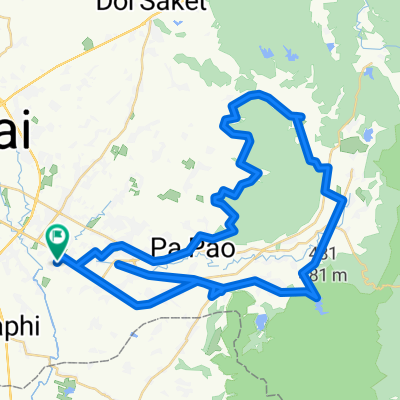
sanklang > huaysai>korsaleum> royprom >sanklang
- 38.8 km
- 19 m
- 21 m
- San Kamphaeng, Chiang Mai, Thailand
A cycling route starting in San Kamphaeng, Chiang Mai, Thailand.
Overview
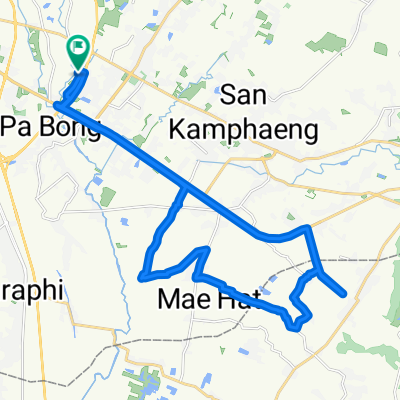
tonpao to maerim to chotana 22 to meechoke plaza to nongjom junct. to tonpap
created this 10 years ago
Continue with Bikemap
You would like to ride 29 March 07:38 or customize it for your own trip? Here is what you can do with this Bikemap route:
Free trial for 3 days, or one-time payment. More about Bikemap Premium.
Discover more Premium features.
Get Bikemap PremiumFrom our community
Open it in the app