St. Martin in Thurn - Pieve di Cadore
- 76.4 km
- 841 m
- 1,177 m
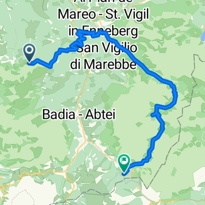
- San Martino in Badia, Trentino-Alto Adige, Italy
A cycling route starting in San Martino in Badia, Trentino-Alto Adige, Italy.
Overview
Würzjoch-Turnaretscher Hut
created this 11 years ago
Continue with Bikemap
You would like to ride WÜrzjoch-Turnaretscher Hütte or customize it for your own trip? Here is what you can do with this Bikemap route:
Free trial for 3 days, or one-time payment. More about Bikemap Premium.
Discover more Premium features.
Get Bikemap PremiumFrom our community
Open it in the app