

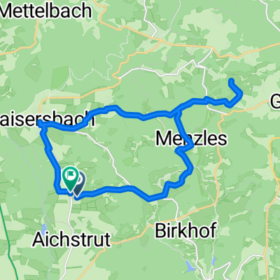
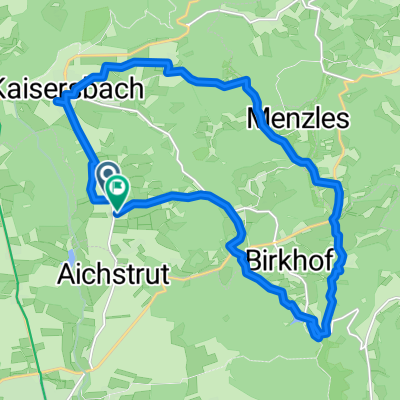
014_Mühlenradtour
A cycling route starting in Kaisersbach, Baden-Wurttemberg, Germany.
Overview
About this route
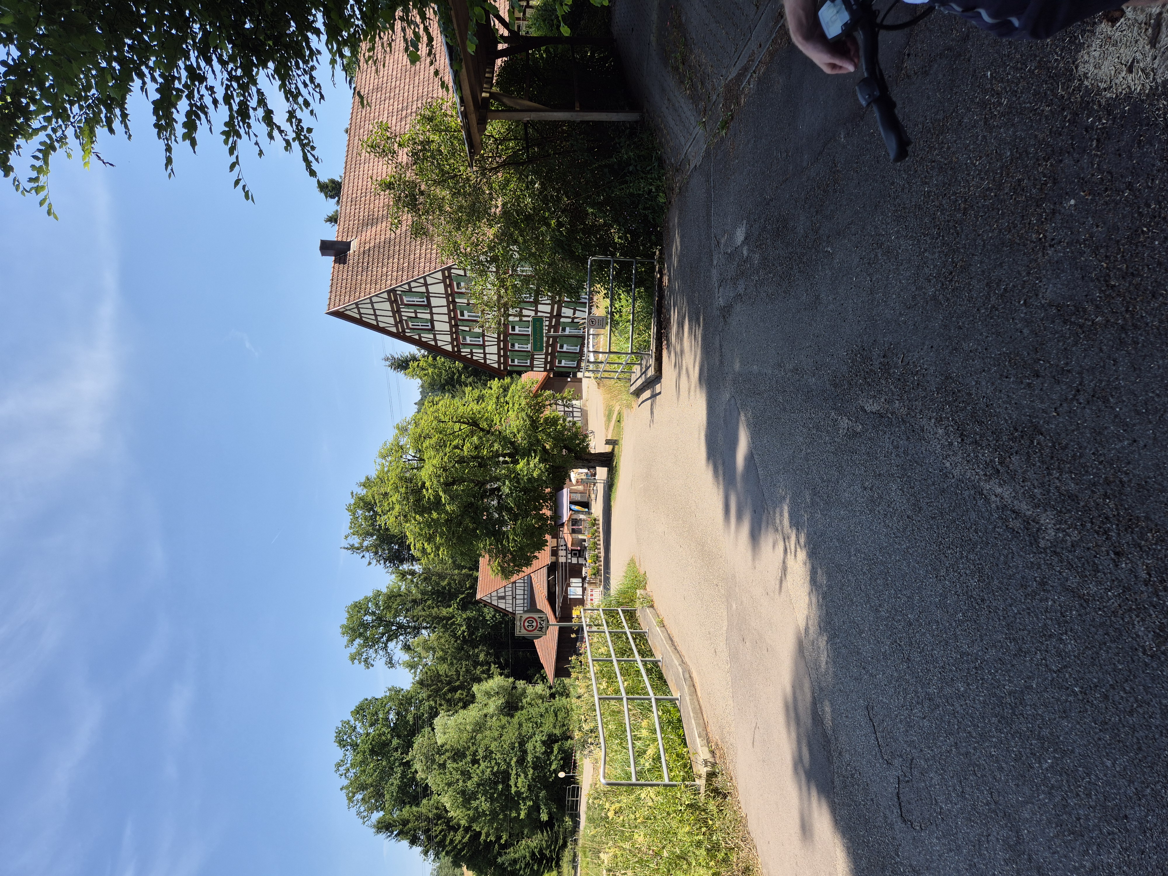
Mill tour from Hellershof to Hagerwald Lake
- -:--
- Duration
- 7.4 km
- Distance
- 130 m
- Ascent
- 129 m
- Descent
- ---
- Avg. speed
- ---
- Max. altitude

Route quality
Waytypes & surfaces along the route
Waytypes
Track
4.7 km
(64 %)
Quiet road
1.3 km
(17 %)
Surfaces
Paved
4 km
(54 %)
Unpaved
2.8 km
(38 %)
Asphalt
3.8 km
(51 %)
Gravel
1.6 km
(22 %)
Continue with Bikemap
Use, edit, or download this cycling route
You would like to ride 014_Mühlenradtour or customize it for your own trip? Here is what you can do with this Bikemap route:
Free features
- Save this route as favorite or in collections
- Copy & plan your own version of this route
- Sync your route with Garmin or Wahoo
Premium features
Free trial for 3 days, or one-time payment. More about Bikemap Premium.
- Navigate this route on iOS & Android
- Export a GPX / KML file of this route
- Create your custom printout (try it for free)
- Download this route for offline navigation
Discover more Premium features.
Get Bikemap PremiumFrom our community
Other popular routes starting in Kaisersbach
 Wanderweg_Ebnisee_Freizeitzentrum Sechselberg
- Distance
- 7.3 km
- Ascent
- 130 m
- Descent
- 105 m
- Location
- Kaisersbach, Baden-Wurttemberg, Germany
 Aichstruter Straße nach Gehren
- Distance
- 18.6 km
- Ascent
- 192 m
- Descent
- 338 m
- Location
- Kaisersbach, Baden-Wurttemberg, Germany
 Ebnisee - Freizeitzentrum Sechselberg
- Distance
- 6.2 km
- Ascent
- 104 m
- Descent
- 104 m
- Location
- Kaisersbach, Baden-Wurttemberg, Germany
 Route in Gebenweiler
- Distance
- 18.7 km
- Ascent
- 473 m
- Descent
- 473 m
- Location
- Kaisersbach, Baden-Wurttemberg, Germany
 gebenweiler hagerwaldsee rundtour
- Distance
- 19.4 km
- Ascent
- 453 m
- Descent
- 455 m
- Location
- Kaisersbach, Baden-Wurttemberg, Germany
 Unterneustetten 9, Murrhardt nach Unterneustetten 9, Murrhardt
- Distance
- 14.6 km
- Ascent
- 318 m
- Descent
- 297 m
- Location
- Kaisersbach, Baden-Wurttemberg, Germany
 MTB SW Teil 7 Monk's Farm
- Distance
- 25.7 km
- Ascent
- 500 m
- Descent
- 501 m
- Location
- Kaisersbach, Baden-Wurttemberg, Germany
 Ebniseerunde
- Distance
- 23 km
- Ascent
- 289 m
- Descent
- 288 m
- Location
- Kaisersbach, Baden-Wurttemberg, Germany
Open it in the app