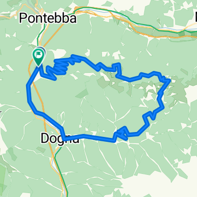
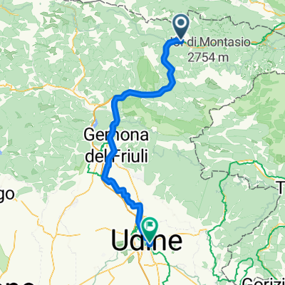
Pontebba - Udine
- 81.6 km
- 876 m
- 1,364 m
- Pontebba, Friuli Venezia Giulia, Italy
A cycling route starting in Pontebba, Friuli Venezia Giulia, Italy.
Overview
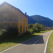
Starting from Pontebba, take the SP112 for the first ascent to Sella Cereschiatis near Aupa.
Continue downhill to Moggio Udinese where you cross the Fella river heading towards Carnia.
Here, after crossing the Fella again, head towards Amaro by turning right from SS52 to join SP125.
Upon reaching Tolmezzo, cross the But stream where you gradually climb via SP21 up to Zuglio.
After crossing the But stream again, take SP40; from Paularo the climb becomes challenging, culminating at the Passo di Cason di Lanza.
Here, a stop is necessary to refresh and catch your breath.
The few kilometers separating us from Pontebba are all downhill.
.
created this 10 years ago
Route quality
Road
55.9 km
(58 %)
Quiet road
7.7 km
(8 %)
Paved
62.7 km
(65 %)
Unpaved
1 km
(1 %)
Asphalt
62.7 km
(65 %)
Gravel
1 km
(1 %)
Undefined
32.8 km
(34 %)
Continue with Bikemap
You would like to ride Pontebba - Passo del Cason di Lanza - Pontebba or customize it for your own trip? Here is what you can do with this Bikemap route:
Free trial for 3 days, or one-time payment. More about Bikemap Premium.
Discover more Premium features.
Get Bikemap PremiumFrom our community
Open it in the app