

Rosport-Knokke
A cycling route starting in Ralingen, Rhineland-Palatinate, Germany.
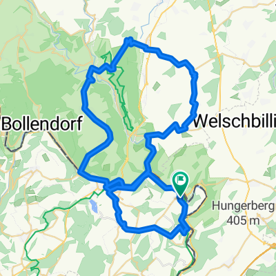
Overview
About this route
Race bike from Luxembourg to Belgium coast
- -:--
- Duration
- 384.7 km
- Distance
- 1,088 m
- Ascent
- 1,238 m
- Descent
- ---
- Avg. speed
- ---
- Max. altitude
Route quality
Waytypes & surfaces along the route
Waytypes
Road
116.5 km
(30 %)
Quiet road
108.2 km
(28 %)
Surfaces
Paved
293.5 km
(76 %)
Unpaved
7.3 km
(2 %)
Asphalt
260.9 km
(68 %)
Concrete
20.8 km
(5 %)
Continue with Bikemap
Use, edit, or download this cycling route
You would like to ride Rosport-Knokke or customize it for your own trip? Here is what you can do with this Bikemap route:
Free features
- Save this route as favorite or in collections
- Copy & plan your own version of this route
- Split it into stages to create a multi-day tour
- Sync your route with Garmin or Wahoo
Premium features
Free trial for 3 days, or one-time payment. More about Bikemap Premium.
- Navigate this route on iOS & Android
- Export a GPX / KML file of this route
- Create your custom printout (try it for free)
- Download this route for offline navigation
Discover more Premium features.
Get Bikemap PremiumFrom our community
Other popular routes starting in Ralingen
 Ralingen
- Distance
- 35.2 km
- Ascent
- 184 m
- Descent
- 179 m
- Location
- Ralingen, Rhineland-Palatinate, Germany
 Luxemburg Tudor Tour mit Mosel 75km
- Distance
- 72.5 km
- Ascent
- 1,490 m
- Descent
- 1,504 m
- Location
- Ralingen, Rhineland-Palatinate, Germany
 Rosport Trier
- Distance
- 35 km
- Ascent
- 379 m
- Descent
- 415 m
- Location
- Ralingen, Rhineland-Palatinate, Germany
 Route d'Echternach 26, Rosport nach Route d'Echternach 26, Rosport
- Distance
- 15.4 km
- Ascent
- 85 m
- Descent
- 84 m
- Location
- Ralingen, Rhineland-Palatinate, Germany
 Rosport
- Distance
- 9.9 km
- Ascent
- 299 m
- Descent
- 297 m
- Location
- Ralingen, Rhineland-Palatinate, Germany
 Tour de Luxembourg 2014, 2e etappe
- Distance
- 159.6 km
- Ascent
- 1,017 m
- Descent
- 814 m
- Location
- Ralingen, Rhineland-Palatinate, Germany
 DEULUXROUTE
- Distance
- 61.7 km
- Ascent
- 1,067 m
- Descent
- 991 m
- Location
- Ralingen, Rhineland-Palatinate, Germany
 Rosport-Knokke
- Distance
- 384.7 km
- Ascent
- 1,088 m
- Descent
- 1,238 m
- Location
- Ralingen, Rhineland-Palatinate, Germany
Open it in the app