
VTT - Le Soultzerkopf
A cycling route starting in Lembach, Grand Est, France.
Overview
About this route
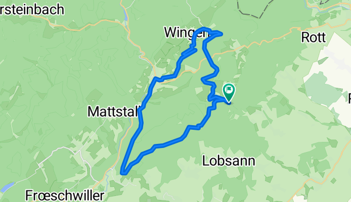
Col du Pfenfenschlick - Refuge du Soultzerkopf - Col du Wiep - Liebfrauenberg - Lembach - Wingen - Petit-Wingen - Pfaffenbronn - Col du Pfaffenschlick.
- -:--
- Duration
- 27.7 km
- Distance
- 489 m
- Ascent
- 488 m
- Descent
- ---
- Avg. speed
- ---
- Max. altitude

Continue with Bikemap
Use, edit, or download this cycling route
You would like to ride VTT - Le Soultzerkopf or customize it for your own trip? Here is what you can do with this Bikemap route:
Free features
- Save this route as favorite or in collections
- Copy & plan your own version of this route
- Sync your route with Garmin or Wahoo
Premium features
Free trial for 3 days, or one-time payment. More about Bikemap Premium.
- Navigate this route on iOS & Android
- Export a GPX / KML file of this route
- Create your custom printout (try it for free)
- Download this route for offline navigation
Discover more Premium features.
Get Bikemap PremiumFrom our community
Other popular routes starting in Lembach
 Ex - C 01 - Entre forêt et route du vin – 42 km
- Distance
- 42.6 km
- Ascent
- 569 m
- Descent
- 569 m
- Location
- Lembach, Grand Est, France
 C3 Circuit transfrontalier
- Distance
- 45.9 km
- Ascent
- 383 m
- Descent
- 384 m
- Location
- Lembach, Grand Est, France
 VTT - Marienbronn
- Distance
- 17.1 km
- Ascent
- 415 m
- Descent
- 418 m
- Location
- Lembach, Grand Est, France
 VTT - Le Soultzerkopf
- Distance
- 27.7 km
- Ascent
- 489 m
- Descent
- 488 m
- Location
- Lembach, Grand Est, France
 2012 French Tour -- Ride Day 23 -- 3 September 2012 -- Climbach -- Circle
- Distance
- 48.3 km
- Ascent
- 435 m
- Descent
- 433 m
- Location
- Lembach, Grand Est, France
 Biosphärenhaus
- Distance
- 37.5 km
- Ascent
- 275 m
- Descent
- 273 m
- Location
- Lembach, Grand Est, France
 C1 Histoire et colombages.
- Distance
- 84.3 km
- Ascent
- 618 m
- Descent
- 618 m
- Location
- Lembach, Grand Est, France
 Niederbronn les Bains
- Distance
- 47 km
- Ascent
- 479 m
- Descent
- 479 m
- Location
- Lembach, Grand Est, France
Open it in the app