
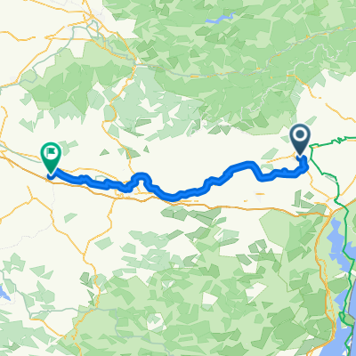
EFR 26 - Can du Midi - Le Somail Trebes
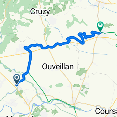
A cycling route starting in Ginestas, Occitanie, France.
Overview
About this route
On towpaths along the Canal du Midi from Le Somail to Trèbes, passing picturesque villages such as Paraza, Roubia, Argens Minervois, Homps, La Reedorte, and Marseillette.
Here and there in poor condition with puddles of mud.
- -:--
- Duration
- 48.5 km
- Distance
- 92 m
- Ascent
- 37 m
- Descent
- ---
- Avg. speed
- ---
- Max. altitude
Route quality
Waytypes & surfaces along the route
Waytypes
Track
28.1 km
(58 %)
Road
9.7 km
(20 %)
Surfaces
Paved
12.1 km
(25 %)
Unpaved
32.5 km
(67 %)
Gravel
17 km
(35 %)
Ground
13.1 km
(27 %)
Continue with Bikemap
Use, edit, or download this cycling route
You would like to ride EFR 26 - Can du Midi - Le Somail Trebes or customize it for your own trip? Here is what you can do with this Bikemap route:
Free features
- Save this route as favorite or in collections
- Copy & plan your own version of this route
- Sync your route with Garmin or Wahoo
Premium features
Free trial for 3 days, or one-time payment. More about Bikemap Premium.
- Navigate this route on iOS & Android
- Export a GPX / KML file of this route
- Create your custom printout (try it for free)
- Download this route for offline navigation
Discover more Premium features.
Get Bikemap PremiumFrom our community
Other popular routes starting in Ginestas
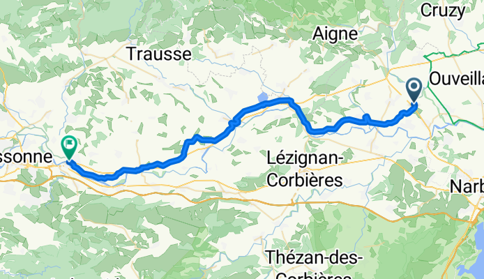
 someil to carcassonne
- Distance
- 62.2 km
- Ascent
- 204 m
- Descent
- 119 m
- Location
- Ginestas, Occitanie, France
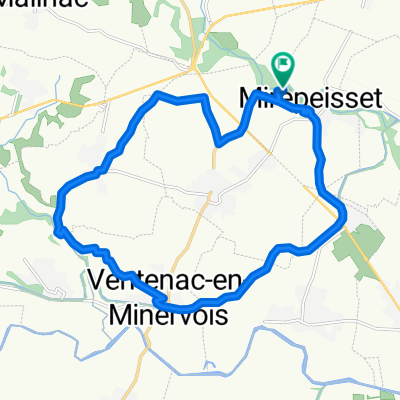 Mirepeisset - ste valiere - ventenac en minervois - le somail - mirepeisset
- Distance
- 19.7 km
- Ascent
- 117 m
- Descent
- 117 m
- Location
- Ginestas, Occitanie, France
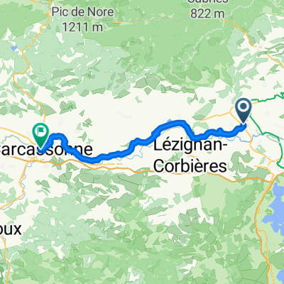
 canal midi j3
- Distance
- 66.2 km
- Ascent
- 109 m
- Descent
- 42 m
- Location
- Ginestas, Occitanie, France
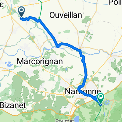
 Narbonne
- Distance
- 26.2 km
- Ascent
- 30 m
- Descent
- 96 m
- Location
- Ginestas, Occitanie, France
 13.10.25: Mirepeisset-Narbonne
- Distance
- 26 km
- Ascent
- 15 m
- Descent
- 50 m
- Location
- Ginestas, Occitanie, France
 Boucle Pouzols-Bize-Pouzols
- Distance
- 31 km
- Ascent
- 358 m
- Descent
- 358 m
- Location
- Ginestas, Occitanie, France
 De Camping Val de Cesse à Rue Pasteur
- Distance
- 89.9 km
- Ascent
- 315 m
- Descent
- 222 m
- Location
- Ginestas, Occitanie, France
 Allée des Cyprés to Avenue Emile Loscos Bis
- Distance
- 27.5 km
- Ascent
- 88 m
- Descent
- 88 m
- Location
- Ginestas, Occitanie, France
Open it in the app