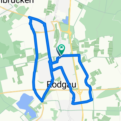
Ludwigstraße, Rodgau nach Ludwigstraße, Rodgau
- 21.1 km
- 85 m
- 81 m
- Rodgau, Hesse, Germany
A cycling route starting in Rodgau, Hesse, Germany.
Overview
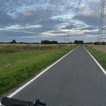
Cycle path over gravel and forest highway, partially asphalted, all around Rodgau!
created this 10 years ago
Continue with Bikemap
You would like to ride Rodgau Rund Weg or customize it for your own trip? Here is what you can do with this Bikemap route:
Free trial for 3 days, or one-time payment. More about Bikemap Premium.
Discover more Premium features.
Get Bikemap PremiumFrom our community
Open it in the app