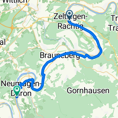
St Florentiner Straße, Zeltingen-Rachtig naar Brückenstraße, Zeltingen-Rachtig
- 27.6 km
- 295 m
- 297 m
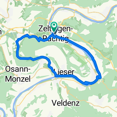
- Zeltingen-Rachtig, Rhineland-Palatinate, Germany
A cycling route starting in Zeltingen-Rachtig, Rhineland-Palatinate, Germany.
Overview
Coffee fund trip 'Tailwind' from 24.05.2014
(cloned from route 2617268)
created this 10 years ago
Route quality
Quiet road
9.4 km
(29 %)
Track
8.8 km
(27 %)
Paved
30.3 km
(93 %)
Unpaved
0.3 km
(1 %)
Asphalt
30.3 km
(93 %)
Ground
0.3 km
(1 %)
Undefined
2 km
(6 %)
Continue with Bikemap
You would like to ride Aktion "Rückenwind" or customize it for your own trip? Here is what you can do with this Bikemap route:
Free trial for 3 days, or one-time payment. More about Bikemap Premium.
Discover more Premium features.
Get Bikemap PremiumFrom our community
Open it in the app