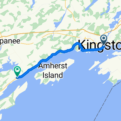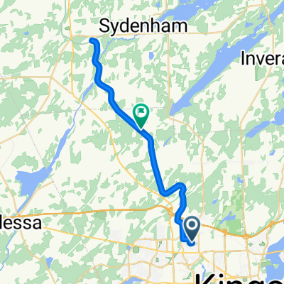
Abbot St, Kingston to K & P Tr, Kingston
- 30 km
- 119 m
- 95 m
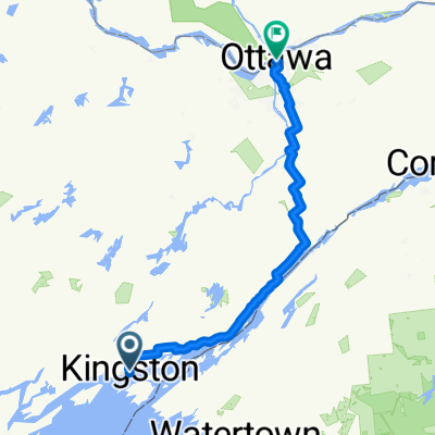
- Kingston, Ontario, Canada
A cycling route starting in Kingston, Ontario, Canada.
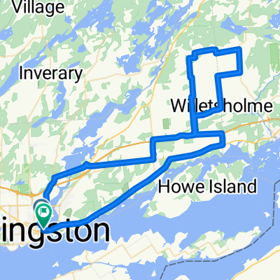
Overview
Start/end at the public parking lot at the Kingston Mills Locks on the Rideau waterway.
Explore the relatively flat plains and dairy farming country east towards Gananoque, then come back west to Brewers Mills and another set of locks (and facilities).
The Sunbury Road takes you west to join the Battersea Rd (Cty Rd 11), and return to Kingston Mills via a fast descent down an escarpment.
(cloned from route 1033625)
created this 10 years ago
Route quality
Road
21.5 km
(33 %)
Quiet road
5.9 km
(9 %)
Undefined
37.8 km
(58 %)
Paved
29.3 km
(45 %)
Asphalt
24.1 km
(37 %)
Paved (undefined)
5.2 km
(8 %)
Undefined
35.8 km
(55 %)
Route highlights
Brewers Mills Locks
Continue with Bikemap
You would like to ride Kingston: Kingston Mills - Brewers Mills Meander (65km) or customize it for your own trip? Here is what you can do with this Bikemap route:
Free trial for 3 days, or one-time payment. More about Bikemap Premium.
Discover more Premium features.
Get Bikemap PremiumFrom our community
Open it in the app