winti-Möriken
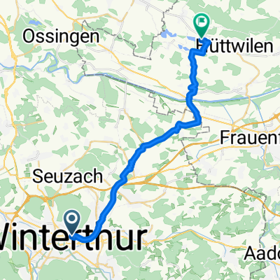
A cycling route starting in Stadt Winterthur (Kreis 1) / Lind, Canton of Zurich, Switzerland.
Overview
About this route
<br type="_moz" /> Arbeitsweg
- -:--
- Duration
- 57.7 km
- Distance
- 488 m
- Ascent
- 543 m
- Descent
- ---
- Avg. speed
- ---
- Avg. speed
Route quality
Waytypes & surfaces along the route
Waytypes
Quiet road
22.3 km
(39 %)
Road
14.4 km
(25 %)
Surfaces
Paved
50.2 km
(87 %)
Unpaved
0.1 km
(<1 %)
Asphalt
48.2 km
(83 %)
Concrete
0.9 km
(2 %)
Continue with Bikemap
Use, edit, or download this cycling route
You would like to ride winti-Möriken or customize it for your own trip? Here is what you can do with this Bikemap route:
Free features
- Save this route as favorite or in collections
- Copy & plan your own version of this route
- Sync your route with Garmin or Wahoo
Premium features
Free trial for 3 days, or one-time payment. More about Bikemap Premium.
- Navigate this route on iOS & Android
- Export a GPX / KML file of this route
- Create your custom printout (try it for free)
- Download this route for offline navigation
Discover more Premium features.
Get Bikemap PremiumFrom our community
Other popular routes starting in Stadt Winterthur (Kreis 1) / Lind
- Winti-Tösstal-Rappi
- Distance
- 99.2 km
- Ascent
- 530 m
- Descent
- 529 m
- Location
- Stadt Winterthur (Kreis 1) / Lind, Canton of Zurich, Switzerland
- DO Kyburg Bike
- Distance
- 21.1 km
- Ascent
- 432 m
- Descent
- 434 m
- Location
- Stadt Winterthur (Kreis 1) / Lind, Canton of Zurich, Switzerland
- Training Pikett INT
- Distance
- 2.5 km
- Ascent
- 71 m
- Descent
- 71 m
- Location
- Stadt Winterthur (Kreis 1) / Lind, Canton of Zurich, Switzerland
- St Georgen Strasse, Winterthur to St Georgen Strasse, Winterthur
- Distance
- 56.3 km
- Ascent
- 611 m
- Descent
- 611 m
- Location
- Stadt Winterthur (Kreis 1) / Lind, Canton of Zurich, Switzerland
- Einfache Fahrt in Winterthur
- Distance
- 2.6 km
- Ascent
- 41 m
- Descent
- 40 m
- Location
- Stadt Winterthur (Kreis 1) / Lind, Canton of Zurich, Switzerland
- Winti 1
- Distance
- 47.9 km
- Ascent
- 293 m
- Descent
- 305 m
- Location
- Stadt Winterthur (Kreis 1) / Lind, Canton of Zurich, Switzerland
- Winterthur Nord :: Thur 1
- Distance
- 38.6 km
- Ascent
- 252 m
- Descent
- 255 m
- Location
- Stadt Winterthur (Kreis 1) / Lind, Canton of Zurich, Switzerland
- bike to work
- Distance
- 32.7 km
- Ascent
- 332 m
- Descent
- 363 m
- Location
- Stadt Winterthur (Kreis 1) / Lind, Canton of Zurich, Switzerland
Open it in the app