De Jeziorna a Jeziorna
- 47 km
- 161 m
- 207 m
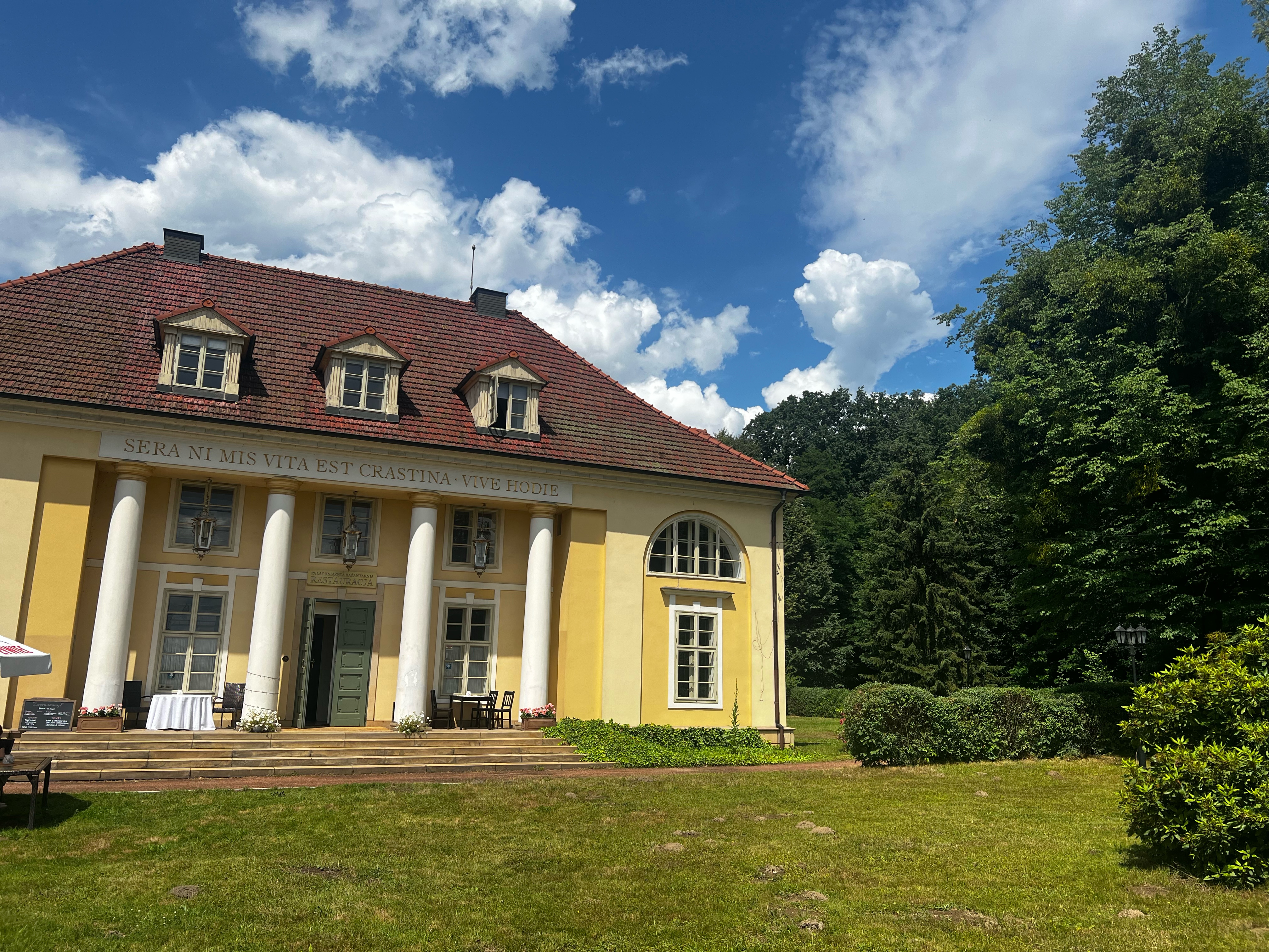
- Goczałkowice Zdrój, Silesian Voivodeship, Poland
A cycling route starting in Goczałkowice Zdrój, Silesian Voivodeship, Poland.
Overview
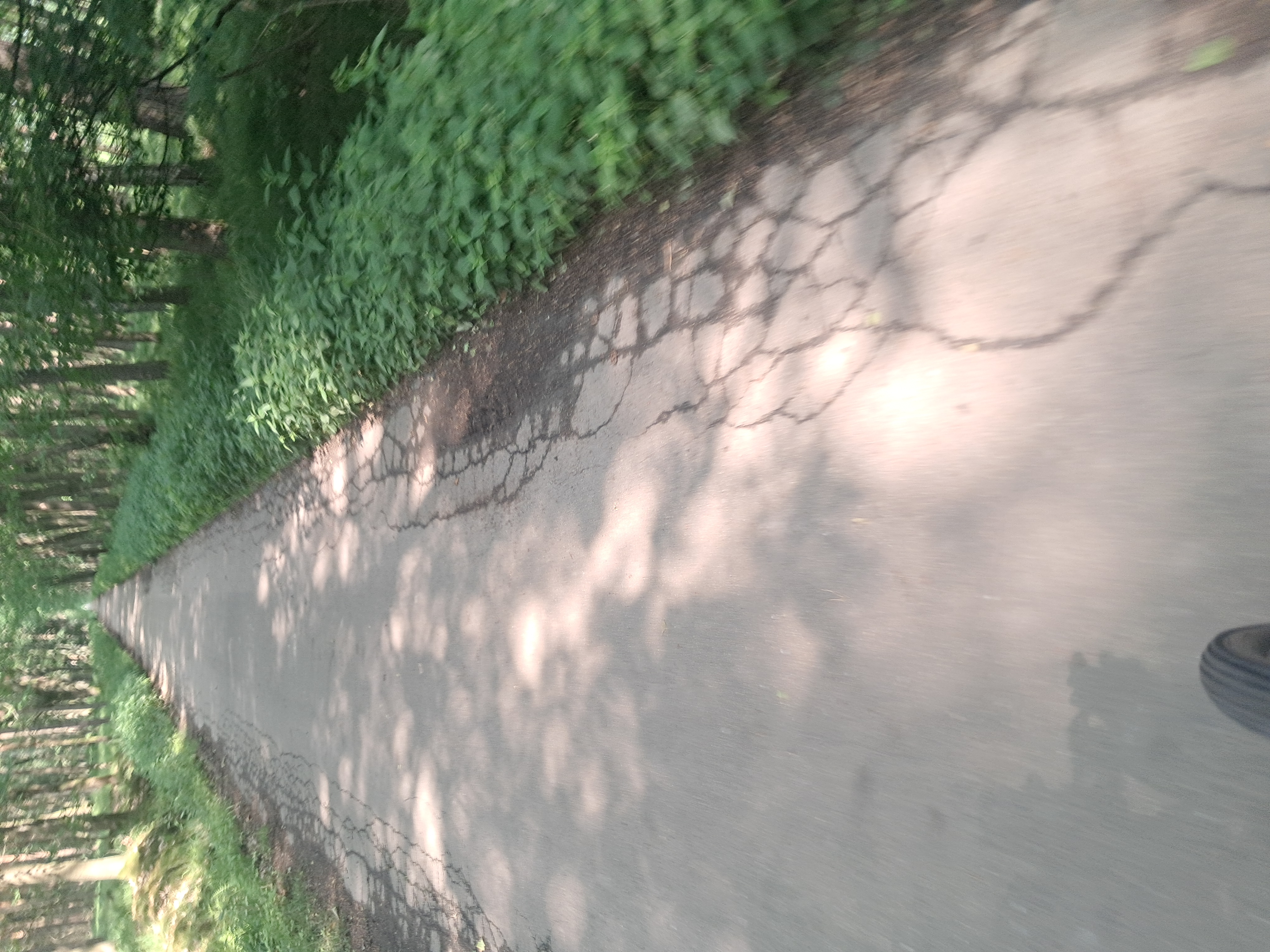
Along the trail of the wooden churches of the Pszczyna region - east.\n\nNote - The route between Goczałkowice and Brzeszcze is practically devoid of markings. In some places, it is impassable due to terrain difficulties (e.g., uncut grass). A map is necessary to search for alternative route options.
created this 10 years ago
Route quality
Quiet road
23.1 km
(42 %)
Track
14.3 km
(26 %)
Paved
25.3 km
(46 %)
Unpaved
4.4 km
(8 %)
Asphalt
23.1 km
(42 %)
Ground
2.2 km
(4 %)
Continue with Bikemap
You would like to ride Goczalkowice_Brzeszcze_Pszczyna or customize it for your own trip? Here is what you can do with this Bikemap route:
Free trial for 3 days, or one-time payment. More about Bikemap Premium.
Discover more Premium features.
Get Bikemap PremiumFrom our community
Open it in the app