

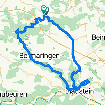
Scharenstetten-Oppingen -Luizhausen-Tomerdingen-Temenhausen-Scharenstetten
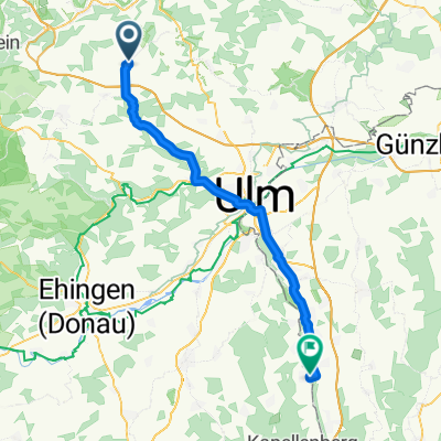
A cycling route starting in Nellingen, Baden-Württemberg, Germany.
Overview
About this route
05.04.15 14:24 Fitness runde kann jeder fahren ist nicht so schwer
- -:--
- Duration
- 27.1 km
- Distance
- 274 m
- Ascent
- 276 m
- Descent
- ---
- Avg. speed
- ---
- Max. altitude

Route quality
Waytypes & surfaces along the route
Waytypes
Track
23.2 km
(86 %)
Road
2.2 km
(8 %)
Surfaces
Paved
8.8 km
(33 %)
Unpaved
17.6 km
(65 %)
Gravel
12.2 km
(45 %)
Asphalt
6.5 km
(24 %)
Continue with Bikemap
Use, edit, or download this cycling route
You would like to ride Scharenstetten-Oppingen -Luizhausen-Tomerdingen-Temenhausen-Scharenstetten or customize it for your own trip? Here is what you can do with this Bikemap route:
Free features
- Save this route as favorite or in collections
- Copy & plan your own version of this route
- Sync your route with Garmin or Wahoo
Premium features
Free trial for 3 days, or one-time payment. More about Bikemap Premium.
- Navigate this route on iOS & Android
- Export a GPX / KML file of this route
- Create your custom printout (try it for free)
- Download this route for offline navigation
Discover more Premium features.
Get Bikemap PremiumFrom our community
Other popular routes starting in Nellingen
 kleine hausrunde
- Distance
- 22.3 km
- Ascent
- 250 m
- Descent
- 249 m
- Location
- Nellingen, Baden-Württemberg, Germany
 Von Dornstadt bis Lonsee
- Distance
- 13.3 km
- Ascent
- 182 m
- Descent
- 269 m
- Location
- Nellingen, Baden-Württemberg, Germany
 20150912_083900.gpx
- Distance
- 126.2 km
- Ascent
- 368 m
- Descent
- 366 m
- Location
- Nellingen, Baden-Württemberg, Germany
 Römerstraße 5, Nellingen nach Illertisser Straße 46–48, Neu-Ulm, gemeindefreies Gebiet
- Distance
- 52.6 km
- Ascent
- 210 m
- Descent
- 380 m
- Location
- Nellingen, Baden-Württemberg, Germany
 Hauptstraße 25, Dornstadt nach In der Wanne 57, Ulm
- Distance
- 19.2 km
- Ascent
- 145 m
- Descent
- 353 m
- Location
- Nellingen, Baden-Württemberg, Germany
 Scharenstetten-Blaustein-Lautern-Scharenstetten
- Distance
- 43.8 km
- Ascent
- 384 m
- Descent
- 366 m
- Location
- Nellingen, Baden-Württemberg, Germany
 orichideenwiese Gruibingen CLONED FROM ROUTE 46798
- Distance
- 41.8 km
- Ascent
- 771 m
- Descent
- 720 m
- Location
- Nellingen, Baden-Württemberg, Germany
 Radfreunde Fleischwangen V2
- Distance
- 64.8 km
- Ascent
- 235 m
- Descent
- 457 m
- Location
- Nellingen, Baden-Württemberg, Germany
Open it in the app