

Altes Land 2.Meile (gelb)
A cycling route starting in Mittelnkirchen, Lower Saxony, Germany.
Overview
About this route
Wir starten am Museum Altes Land (Parkmöglichkeiten auf der Gegenüberliegenden Straßenseite). Nun sind es ca. 800m bis wir das Museum auf der linken Seite wieder sehen und somit unseren Ausgangspunkt erreicht haben.
- -:--
- Duration
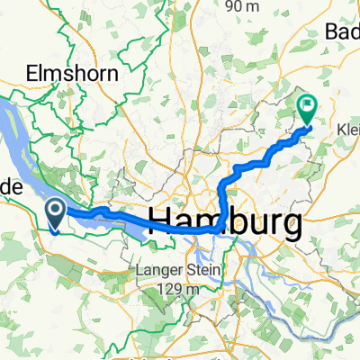
- 27.8 km
- Distance
- 0 m
- Ascent
- 0 m
- Descent
- ---
- Avg. speed
- ---
- Max. altitude
Continue with Bikemap
Use, edit, or download this cycling route
You would like to ride Altes Land 2.Meile (gelb) or customize it for your own trip? Here is what you can do with this Bikemap route:
Free features
- Save this route as favorite or in collections
- Copy & plan your own version of this route
- Sync your route with Garmin or Wahoo
Premium features
Free trial for 3 days, or one-time payment. More about Bikemap Premium.
- Navigate this route on iOS & Android
- Export a GPX / KML file of this route
- Create your custom printout (try it for free)
- Download this route for offline navigation
Discover more Premium features.
Get Bikemap PremiumFrom our community
Other popular routes starting in Mittelnkirchen
 AL - GEEST - ROSENGARTEN
- Distance
- 155.4 km
- Ascent
- 290 m
- Descent
- 290 m
- Location
- Mittelnkirchen, Lower Saxony, Germany
 Altes Land 2.Meile (gelb)
- Distance
- 27.8 km
- Ascent
- 0 m
- Descent
- 0 m
- Location
- Mittelnkirchen, Lower Saxony, Germany
 Von Nessdorf bis Ahrensberg BM-Final
- Distance
- 60 km
- Ascent
- 193 m
- Descent
- 148 m
- Location
- Mittelnkirchen, Lower Saxony, Germany
 Neßsand Stade 18
- Distance
- 18.3 km
- Ascent
- 17 m
- Descent
- 0 m
- Location
- Mittelnkirchen, Lower Saxony, Germany
 Dorfstraße 92, Neuenkirchen nach Dorfstraße 95, Neuenkirchen
- Distance
- 12 km
- Ascent
- 19 m
- Descent
- 62 m
- Location
- Mittelnkirchen, Lower Saxony, Germany
 Kirschhoff 9, Mittelnkirchen nach Hohenfelde 57, Mittelnkirchen
- Distance
- 2.8 km
- Ascent
- 7 m
- Descent
- 7 m
- Location
- Mittelnkirchen, Lower Saxony, Germany
 Horneburg-Jork-Guthander
- Distance
- 39 km
- Ascent
- 44 m
- Descent
- 42 m
- Location
- Mittelnkirchen, Lower Saxony, Germany
 awv52-Stade/Wedel-Niebüll
- Distance
- 298.6 km
- Ascent
- 114 m
- Descent
- 114 m
- Location
- Mittelnkirchen, Lower Saxony, Germany
Open it in the app