
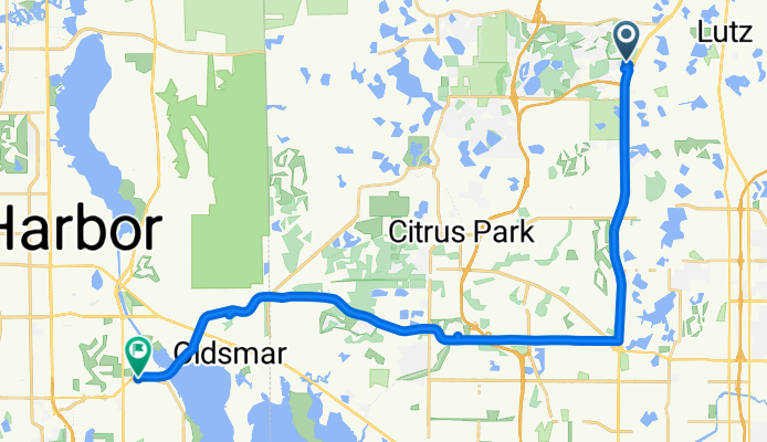
Home2SafetyHarbor
A cycling route starting in Cheval, Florida, United States.
Overview
About this route
- -:--
- Duration
- 34.4 km
- Distance
- 53 m
- Ascent
- 51 m
- Descent
- ---
- Avg. speed
- ---
- Max. altitude
Continue with Bikemap
Use, edit, or download this cycling route
You would like to ride Home2SafetyHarbor or customize it for your own trip? Here is what you can do with this Bikemap route:
Free features
- Save this route as favorite or in collections
- Copy & plan your own version of this route
- Sync your route with Garmin or Wahoo
Premium features
Free trial for 3 days, or one-time payment. More about Bikemap Premium.
- Navigate this route on iOS & Android
- Export a GPX / KML file of this route
- Create your custom printout (try it for free)
- Download this route for offline navigation
Discover more Premium features.
Get Bikemap PremiumFrom our community
Other popular routes starting in Cheval
 Home2Miriams
- Distance
- 26.5 km
- Ascent
- 23 m
- Descent
- 41 m
- Location
- Cheval, Florida, United States
 Suncoast and Starkey Park
- Distance
- 42.7 km
- Ascent
- 41 m
- Descent
- 41 m
- Location
- Cheval, Florida, United States
 Home to 52/bellamy via lutz, ehren
- Distance
- 41.9 km
- Ascent
- 68 m
- Descent
- 65 m
- Location
- Cheval, Florida, United States
 19204 Wind Dancer St, Lutz to 17723–17731 Harpers Run, Lutz
- Distance
- 8.8 km
- Ascent
- 9 m
- Descent
- 13 m
- Location
- Cheval, Florida, United States
 revised day 4 end Walter Fuller Park between 26th-30th ave N
- Distance
- 97.5 km
- Ascent
- 64 m
- Descent
- 71 m
- Location
- Cheval, Florida, United States
 Home2SafetyHarbor
- Distance
- 34.4 km
- Ascent
- 53 m
- Descent
- 51 m
- Location
- Cheval, Florida, United States
 Home to Jasons
- Distance
- 20.8 km
- Ascent
- 40 m
- Descent
- 35 m
- Location
- Cheval, Florida, United States
 17883–17895 Jamestown Way, Lutz to 17844 Jamestown Way, Lutz
- Distance
- 8.6 km
- Ascent
- 254 m
- Descent
- 251 m
- Location
- Cheval, Florida, United States
Open it in the app