
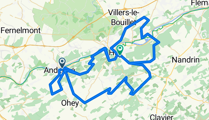

TACX_Fleche Wallone
- 53.2 km
- 869 m
- 750 m
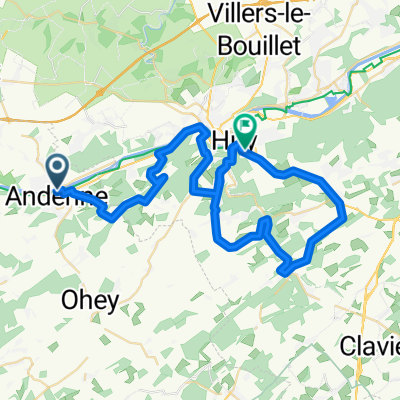
- Andenne, Wallonia, Belgium
A cycling route starting in Andenne, Wallonia, Belgium.
Overview
finale of the Tour of Flanders
created this 10 years ago
Route quality
Quiet road
39.1 km
(32 %)
Road
33 km
(27 %)
Paved
47.7 km
(39 %)
Asphalt
46.5 km
(38 %)
Concrete
1.2 km
(1 %)
Undefined
74.6 km
(61 %)
Route highlights
Cote de Bohisseau
Cote de Bousalle
Cote de Plein de Cyr
Cote d'Ereffe
Cote de Peau d'Eau
Cote de Bellaire
Cote di Amay
Cote de Villers le Bouillet
Muro di Huy
Continue with Bikemap
You would like to ride finale giro delle fiandre or customize it for your own trip? Here is what you can do with this Bikemap route:
Free trial for 3 days, or one-time payment. More about Bikemap Premium.
Discover more Premium features.
Get Bikemap PremiumFrom our community
Open it in the app


