Firmen-Radtour Altenstadt-OWI
- 36.7 km
- 84 m
- 84 m
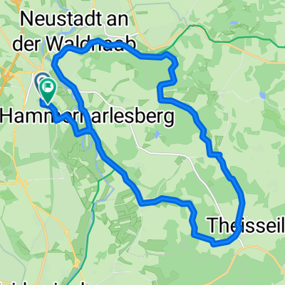
- Neustadt an der Waldnaab, Bavaria, Germany
A cycling route starting in Neustadt an der Waldnaab, Bavaria, Germany.
Overview
from Altenstadt, the route leads over the Haidmühlweiher towards Süßenloher Weiher. In the cooperation forest then towards Schustermooslohe. Particularly worth seeing is the part on a paved forest road that goes past the moor. At the animal shelter in Weiden, cross the highway and then continue to the airfield in Latsch and Frauenricht. At the former munitions depot, it goes over the roofs of Weiden. In the direction of Mantel, single trails and forest paths follow. We turn off to Rupprechtsreuth, first following the marking 4 then the 5. Again towards the airfield and Neuenkirchen through the industrial area of Bradweihen. We cross the federal road 470 and head towards Pressather Forest (Weiden) to then turn into a single trail in the direction of the shooting range. Then through the forest and back to the animal shelter. (Pit stop at Alten Schuster). Again over the highway and this time turn left towards Schwedentisch (pit stop available). Passing by Schätzlerbahn (pit stop available) towards Altenstadt (pit stop in the beer garden of dWirtschaft).
At the training area.
created this 11 years ago
Route quality
Track
22.5 km
58 %
Quiet road
9.3 km
24 %
Paved
10.1 km
(26 %)
Unpaved
22.9 km
(59 %)
Gravel
11.6 km
30 %
Asphalt
9.3 km
24 %
Continue with Bikemap
You would like to ride MTB Sonntagsrunde 1 or customize it for your own trip? Here is what you can do with this Bikemap route:
Free trial for 3 days, or one-time payment. More about Bikemap Premium.
Discover more Premium features.
Get Bikemap PremiumFrom our community
Open it in the app