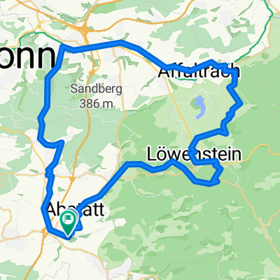
Ilsfeld-Stettenfels-Köpfertal-Flein
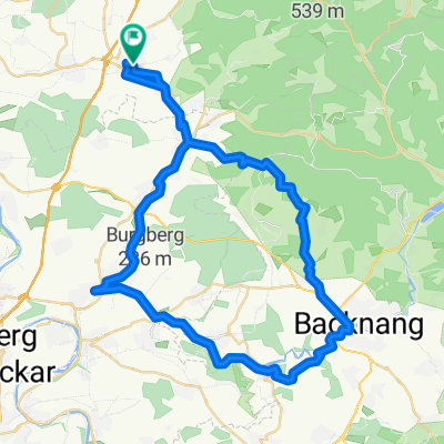
A cycling route starting in Abstatt, Baden-Württemberg, Germany.
Overview
About this route
Schöne Trails, auf Schotter hoch, Trails runter
- -:--
- Duration
- 30.8 km
- Distance
- 366 m
- Ascent
- 365 m
- Descent
- ---
- Avg. speed
- ---
- Avg. speed
Route quality
Waytypes & surfaces along the route
Waytypes
Track
19.8 km
(64 %)
Path
6.5 km
(21 %)
Surfaces
Paved
10.9 km
(36 %)
Unpaved
18.6 km
(61 %)
Asphalt
9.2 km
(30 %)
Ground
8.7 km
(28 %)
Continue with Bikemap
Use, edit, or download this cycling route
You would like to ride Ilsfeld-Stettenfels-Köpfertal-Flein or customize it for your own trip? Here is what you can do with this Bikemap route:
Free features
- Save this route as favorite or in collections
- Copy & plan your own version of this route
- Sync your route with Garmin or Wahoo
Premium features
Free trial for 3 days, or one-time payment. More about Bikemap Premium.
- Navigate this route on iOS & Android
- Export a GPX / KML file of this route
- Create your custom printout (try it for free)
- Download this route for offline navigation
Discover more Premium features.
Get Bikemap PremiumFrom our community
Other popular routes starting in Abstatt
- Schweinsbergrunde-Stage3_42km-800hm
- Distance
- 41.6 km
- Ascent
- 437 m
- Descent
- 438 m
- Location
- Abstatt, Baden-Württemberg, Germany
- BS_Gronau_lang_alternativ_Birk_Krugeich_Gronau_Wartkopf_Söhlbach_26km_570hm
- Distance
- 26.3 km
- Ascent
- 550 m
- Descent
- 549 m
- Location
- Abstatt, Baden-Württemberg, Germany
- Abstatt - Kreuzbergsee
- Distance
- 51.7 km
- Ascent
- 262 m
- Descent
- 313 m
- Location
- Abstatt, Baden-Württemberg, Germany
- Helfenberg: Burgentour
- Distance
- 5.7 km
- Ascent
- 129 m
- Descent
- 116 m
- Location
- Abstatt, Baden-Württemberg, Germany
- Abstatt Weinsberg Weibertreu
- Distance
- 29.6 km
- Ascent
- 378 m
- Descent
- 378 m
- Location
- Abstatt, Baden-Württemberg, Germany
- BS_Wildeck-Söhlbach-Wartkopf-Wunnenstein-Auenstein-23km-600hm
- Distance
- 23.3 km
- Ascent
- 503 m
- Descent
- 529 m
- Location
- Abstatt, Baden-Württemberg, Germany
- Ilsfeld-Stettenfels-Köpfertal-Flein
- Distance
- 30.8 km
- Ascent
- 366 m
- Descent
- 365 m
- Location
- Abstatt, Baden-Württemberg, Germany
- Ilsfeld-Stettenfels-Köpfertal-Stausee-Flein
- Distance
- 39.1 km
- Ascent
- 514 m
- Descent
- 513 m
- Location
- Abstatt, Baden-Württemberg, Germany
Open it in the app