Cloppenburger Land eine Radtour durch Wald und Feld
- 39.7 km
- 56 m
- 58 m
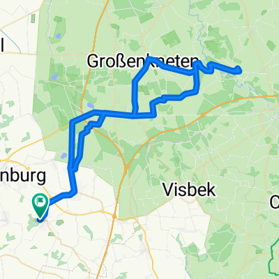
- Cappeln, Lower Saxony, Germany
A cycling route starting in Cappeln, Lower Saxony, Germany.
Overview
Nice half-day tour through Warnstedt to Molbergen (by the way, there's a good Italian ice cream here) - past the golf course and through the state forests back to Cloppenburg.
created this 16 years ago
Route quality
Path
12.8 km
(29 %)
Quiet road
12.3 km
(28 %)
Paved
33.9 km
(77 %)
Unpaved
4.8 km
(11 %)
Asphalt
33.9 km
(77 %)
Ground
3.1 km
(7 %)
Continue with Bikemap
You would like to ride Cappeln-Hemmelte-Molbergen-Staatsforsten or customize it for your own trip? Here is what you can do with this Bikemap route:
Free trial for 3 days, or one-time payment. More about Bikemap Premium.
Discover more Premium features.
Get Bikemap PremiumFrom our community
Open it in the app