Zim..-Malawa-Krasne-Łąka-Trzebownisko-..owit
- 39.1 km
- 231 m
- 231 m
- Tyczyn, Subcarpathian Voivodeship, Poland
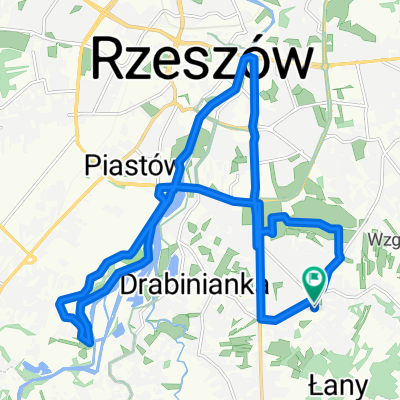
Second version of the 'Around Rzeszów' route. This time with extended coverage into the northern parts of the city.
Start with a climb in Matysówka, followed by a brief rest descending to Kielnarowa, breaking speed records along the way.
A short crossing onto Tyczyn roads and after the climb, a series of turns (easy to take a wrong turn).
From Straszydło through Lubenia, a pleasant straight road all the way to Babica.
A short (fortunately) stretch on the national road and a steep climb in Czudec.
The descent to Niechobrz will make up for the hard climb ;)
A flat, straight section through Zgłobień and Nosówka with a slight surprise in Trzciana.
Up to Zaczernia itself, a quiet road without much traffic, flat with nice views.
From Trzebownisko, a tedious push through vehicle traffic all the way to the end.
Free trial for 3 days, or one-time payment. More about Bikemap Premium.
Discover more Premium features.
Get Bikemap PremiumOpen it in the app