

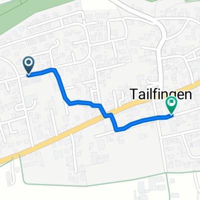
38 km Jettingen
A cycling route starting in Bondorf, Baden-Wurttemberg, Germany.
Overview
About this route
Baisingen, Vollmaringen, Mötzingen, Jettingen, Sindlingen, Nebringen, Gültstein, Reusten
- -:--
- Duration
- 38.1 km
- Distance
- 266 m
- Ascent
- 256 m
- Descent
- ---
- Avg. speed
- ---
- Max. altitude
Route quality
Waytypes & surfaces along the route
Waytypes
Track
17.5 km
(46 %)
Quiet road
8 km
(21 %)
Surfaces
Paved
32 km
(84 %)
Asphalt
31.3 km
(82 %)
Paved (undefined)
0.8 km
(2 %)
Undefined
6.1 km
(16 %)
Continue with Bikemap
Use, edit, or download this cycling route
You would like to ride 38 km Jettingen or customize it for your own trip? Here is what you can do with this Bikemap route:
Free features
- Save this route as favorite or in collections
- Copy & plan your own version of this route
- Sync your route with Garmin or Wahoo
Premium features
Free trial for 3 days, or one-time payment. More about Bikemap Premium.
- Navigate this route on iOS & Android
- Export a GPX / KML file of this route
- Create your custom printout (try it for free)
- Download this route for offline navigation
Discover more Premium features.
Get Bikemap PremiumFrom our community
Other popular routes starting in Bondorf
 38 km Jettingen
- Distance
- 38.1 km
- Ascent
- 266 m
- Descent
- 256 m
- Location
- Bondorf, Baden-Wurttemberg, Germany
 Wächtersberg und alte Poststraße
- Distance
- 49.2 km
- Ascent
- 894 m
- Descent
- 850 m
- Location
- Bondorf, Baden-Wurttemberg, Germany
 Maueräckerstraße nach Schulstraße
- Distance
- 0.9 km
- Ascent
- 6 m
- Descent
- 55 m
- Location
- Bondorf, Baden-Wurttemberg, Germany
 Kleine Runde 40 km 160 hm
- Distance
- 39.4 km
- Ascent
- 227 m
- Descent
- 228 m
- Location
- Bondorf, Baden-Wurttemberg, Germany
 099 2012.04 Nagold-Horb 3.10.2012
- Distance
- 83.5 km
- Ascent
- 759 m
- Descent
- 759 m
- Location
- Bondorf, Baden-Wurttemberg, Germany
 Schwarzwald: Nagoldtal-Enztal
- Distance
- 110.1 km
- Ascent
- 1,846 m
- Descent
- 1,767 m
- Location
- Bondorf, Baden-Wurttemberg, Germany
 Lange Ausfahrt durch Bondorf
- Distance
- 45.8 km
- Ascent
- 221 m
- Descent
- 221 m
- Location
- Bondorf, Baden-Wurttemberg, Germany
 Bondorf - Aldingen
- Distance
- 69 km
- Ascent
- 956 m
- Descent
- 726 m
- Location
- Bondorf, Baden-Wurttemberg, Germany
Open it in the app