Ruta El Hierro 1, Salida en la cumbre
A cycling route starting in Frontera, Canary Islands, Spain.
Overview
About this route
Circular route starting from Cumbre. Passing by Mirador de Bascos, the Hermita de Nuestra Señora de los Reyes, Hoya del Morcillo (refreshment point), Mirador de las Playas, San Andres, and descent to Frontera.
- -:--
- Duration
- 71.9 km
- Distance
- 1,218 m
- Ascent
- 2,327 m
- Descent
- ---
- Avg. speed
- ---
- Max. altitude
Route quality
Waytypes & surfaces along the route
Waytypes
Road
23.7 km
(33 %)
Track
14.4 km
(20 %)
Surfaces
Paved
45.3 km
(63 %)
Unpaved
21.6 km
(30 %)
Asphalt
45.3 km
(63 %)
Unpaved (undefined)
10.8 km
(15 %)
Route highlights
Points of interest along the route
Point of interest after 9.5 km
Radar de Malpaso
Point of interest after 15.5 km
Mirador de Bascos
Point of interest after 19.2 km
Hermita de Nuestra Señora de Los Reyes
Point of interest after 35.1 km
Hoya del Morcillo, avituallamiento
Point of interest after 39.1 km
Mirador de Las Playas
Point of interest after 50.8 km
Hermita de la Caridad
Continue with Bikemap
Use, edit, or download this cycling route
You would like to ride Ruta El Hierro 1, Salida en la cumbre or customize it for your own trip? Here is what you can do with this Bikemap route:
Free features
- Save this route as favorite or in collections
- Copy & plan your own version of this route
- Sync your route with Garmin or Wahoo
Premium features
Free trial for 3 days, or one-time payment. More about Bikemap Premium.
- Navigate this route on iOS & Android
- Export a GPX / KML file of this route
- Create your custom printout (try it for free)
- Download this route for offline navigation
Discover more Premium features.
Get Bikemap PremiumFrom our community
Other popular routes starting in Frontera
- Ruta El Hierro 1, Salida en la cumbre
- Distance
- 71.9 km
- Ascent
- 1,218 m
- Descent
- 2,327 m
- Location
- Frontera, Canary Islands, Spain
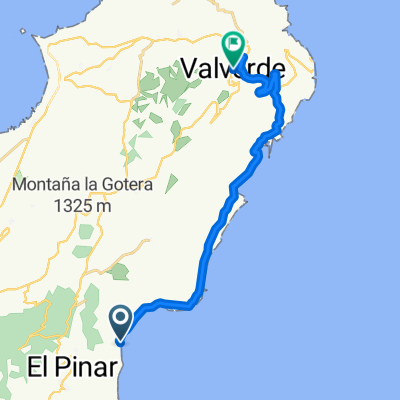
- La Macleta - Sabinosa
- Distance
- 28.1 km
- Ascent
- 766 m
- Descent
- 766 m
- Location
- Frontera, Canary Islands, Spain
- A Canary's Song - Stage 1 Part two (two times)
- Distance
- 54.5 km
- Ascent
- 1,425 m
- Descent
- 1,429 m
- Location
- Frontera, Canary Islands, Spain
- De Lugar Mata, El Pinar de El Hierro a Carretera Hoya del Morcillo, El Pinar de El Hierro
- Distance
- 16.1 km
- Ascent
- 833 m
- Descent
- 886 m
- Location
- Frontera, Canary Islands, Spain
- Hie Frontera Parador
- Distance
- 65.9 km
- Ascent
- 1,841 m
- Descent
- 2,107 m
- Location
- Frontera, Canary Islands, Spain
- De Carretera de S Andrés, 4, Valverde a Carretera de S Andrés, 2, Valverde
- Distance
- 25 km
- Ascent
- 2,124 m
- Descent
- 2,113 m
- Location
- Frontera, Canary Islands, Spain
- Las Puntas - Pico Malpaso
- Distance
- 86.4 km
- Ascent
- 3,116 m
- Descent
- 1,633 m
- Location
- Frontera, Canary Islands, Spain
- Hie Frontera Runde cw
- Distance
- 47.4 km
- Ascent
- 1,285 m
- Descent
- 1,285 m
- Location
- Frontera, Canary Islands, Spain
Open it in the app