- 93.4 km
- 390 m
- 378 m
- Staaken, State of Berlin, Germany
Berlin Spandau bis Pasewalk
A cycling route starting in Staaken, State of Berlin, Germany.
Overview
About this route
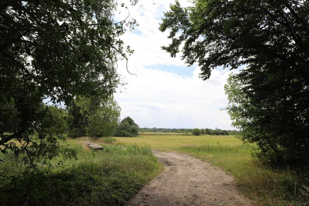
Road cycling tour from Spandau to Pasewalk via the Havelradweg and Usedom Radweg; both connected by a section between Liebenwalde and Eichhorst. Mostly passable by road bike, except for the section before Steinhövel and a section between Schmarsow and Rollwitz. And of course, the usual cobblestones in the villages.
- -:--
- Duration
- 177.8 km
- Distance
- 244 m
- Ascent
- 262 m
- Descent
- ---
- Avg. speed
- ---
- Max. altitude
created this 10 years ago
Route quality
Waytypes & surfaces along the route
Waytypes
Path
40.9 km
(23 %)
Quiet road
33.8 km
(19 %)
Surfaces
Paved
144 km
(81 %)
Unpaved
10.7 km
(6 %)
Asphalt
126.2 km
(71 %)
Concrete
17.8 km
(10 %)
Continue with Bikemap
Use, edit, or download this cycling route
You would like to ride Berlin Spandau bis Pasewalk or customize it for your own trip? Here is what you can do with this Bikemap route:
Free features
- Save this route as favorite or in collections
- Copy & plan your own version of this route
- Split it into stages to create a multi-day tour
- Sync your route with Garmin or Wahoo
Premium features
Free trial for 3 days, or one-time payment. More about Bikemap Premium.
- Navigate this route on iOS & Android
- Export a GPX / KML file of this route
- Create your custom printout (try it for free)
- Download this route for offline navigation
Discover more Premium features.
Get Bikemap PremiumFrom our community
Other popular routes starting in Staaken
- Schwielowseerunde Havel
- Priort - Dyrotz - Dallgow - Staaken
- 26.4 km
- 14 m
- 17 m
- Staaken, State of Berlin, Germany
- [kurz] Spandau "Südschleife"
- 44.1 km
- 118 m
- 116 m
- Staaken, State of Berlin, Germany
- Breddiner Weg 7A, Berlin nach Breddiner Weg 7A, Berlin
- 24.1 km
- 98 m
- 88 m
- Staaken, State of Berlin, Germany
- Großer Havelland Rundkurs
- 140.1 km
- 155 m
- 158 m
- Staaken, State of Berlin, Germany
- [kurz] Spandau "Südschleife"
- 44.1 km
- 154 m
- 148 m
- Staaken, State of Berlin, Germany
- Falkensee-Berlin-Potsdam
- 47 km
- 242 m
- 241 m
- Staaken, State of Berlin, Germany
- Döberitzer Heide
- 11.8 km
- 50 m
- 18 m
- Staaken, State of Berlin, Germany
Open it in the app


![[kurz] Spandau "Südschleife"](https://media.bikemap.net/routes/3291085/staticmaps/in_6be5f1d2-e840-4117-9587-a15c02e35574_400x400_bikemap-2021-3D-static.png)

![[kurz] Spandau "Südschleife"](https://media.bikemap.net/routes/263628/staticmaps/in_8276c62e-0e44-489f-bf53-4fea8c6e4cec_400x400_bikemap-2021-3D-static.png)

