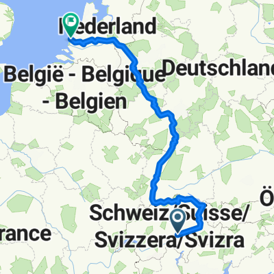
NL The Rhine Cycle Route
- 1,352.1 km
- 88 m
- 1,523 m
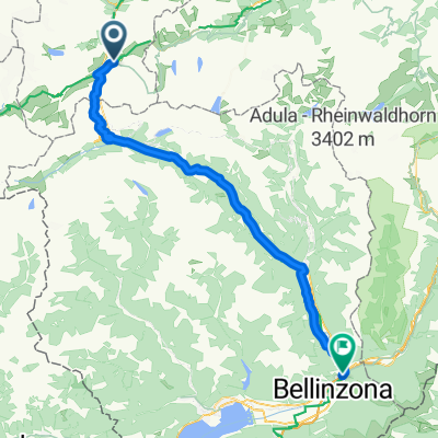
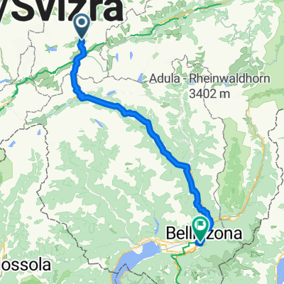
- Andermatt, Canton of Uri, Switzerland
A cycling route starting in Andermatt, Canton of Uri, Switzerland.
Overview
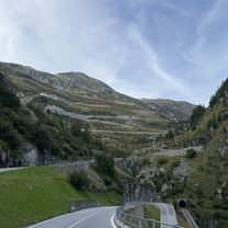
Much of the route is on the ancient cobbled road
created this 16 years ago
Route quality
Path
3.2 km
(6 %)
Track
2.1 km
(4 %)
Paved
31.9 km
(60 %)
Unpaved
0.5 km
(1 %)
Asphalt
28.7 km
(54 %)
Concrete
3.2 km
(6 %)
Route highlights
Passo San Gottardo
Continue with Bikemap
You would like to ride Saint Gothard Pass - both sides or customize it for your own trip? Here is what you can do with this Bikemap route:
Free trial for 3 days, or one-time payment. More about Bikemap Premium.
Discover more Premium features.
Get Bikemap PremiumFrom our community
Open it in the app