
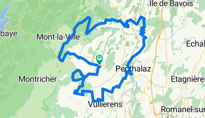
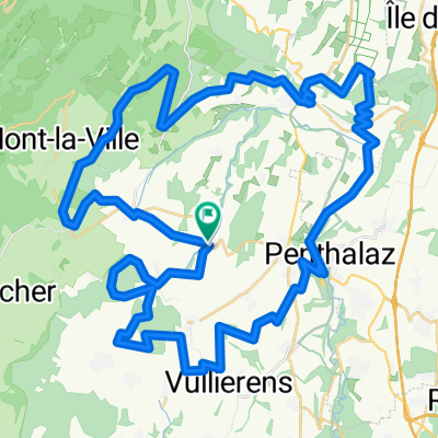
VTT avril
A cycling route starting in La Chaux, Canton of Vaud, Switzerland.
Overview
About this route
Endurance MTB loop
- -:--
- Duration
- 59.4 km
- Distance
- 633 m
- Ascent
- 633 m
- Descent
- ---
- Avg. speed
- ---
- Max. altitude
Continue with Bikemap
Use, edit, or download this cycling route
You would like to ride VTT avril or customize it for your own trip? Here is what you can do with this Bikemap route:
Free features
- Save this route as favorite or in collections
- Copy & plan your own version of this route
- Sync your route with Garmin or Wahoo
Premium features
Free trial for 3 days, or one-time payment. More about Bikemap Premium.
- Navigate this route on iOS & Android
- Export a GPX / KML file of this route
- Create your custom printout (try it for free)
- Download this route for offline navigation
Discover more Premium features.
Get Bikemap PremiumFrom our community
Other popular routes starting in La Chaux
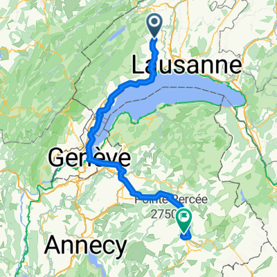
 Von La Chaux (Cossonay) bis Sallanches
- Distance
- 143.4 km
- Ascent
- 1,015 m
- Descent
- 1,006 m
- Location
- La Chaux, Canton of Vaud, Switzerland
 Von La Chaux (Cossonay) bis Sallanches
- Distance
- 146.9 km
- Ascent
- 1,256 m
- Descent
- 1,014 m
- Location
- La Chaux, Canton of Vaud, Switzerland
 semaine
- Distance
- 11.6 km
- Ascent
- 164 m
- Descent
- 163 m
- Location
- La Chaux, Canton of Vaud, Switzerland
 La Chaux Cycling
- Distance
- 76.3 km
- Ascent
- 620 m
- Descent
- 486 m
- Location
- La Chaux, Canton of Vaud, Switzerland
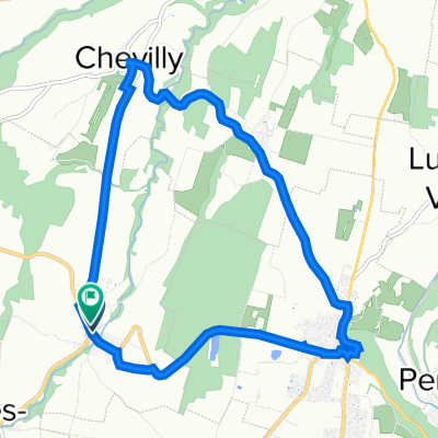
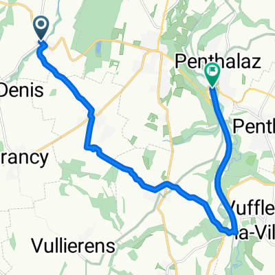 Route de Saint-Denis, La Chaux-Cossonay to Route de Gollion 3, Penthalaz
- Distance
- 11.9 km
- Ascent
- 101 m
- Descent
- 225 m
- Location
- La Chaux, Canton of Vaud, Switzerland
 VTT avril
- Distance
- 59.4 km
- Ascent
- 633 m
- Descent
- 633 m
- Location
- La Chaux, Canton of Vaud, Switzerland
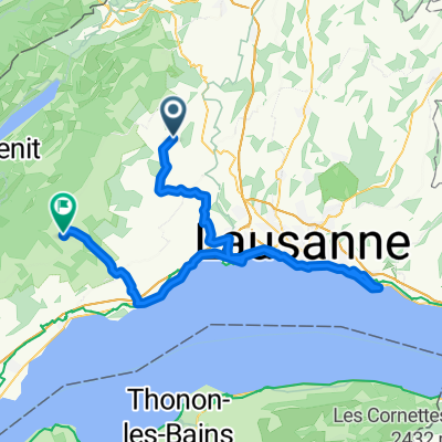
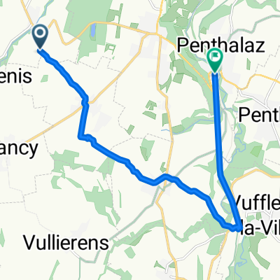 Itinéraire facile en Penthalaz
- Distance
- 10.8 km
- Ascent
- 57 m
- Descent
- 200 m
- Location
- La Chaux, Canton of Vaud, Switzerland
Open it in the app