

Col des Vosgiens
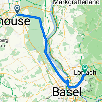
A cycling route starting in Rixheim, Grand Est, France.
Overview
About this route
167 Km 2919 m elevation gain
- -:--
- Duration
- 167.2 km
- Distance
- 1,503 m
- Ascent
- 1,502 m
- Descent
- ---
- Avg. speed
- ---
- Max. altitude

Route quality
Waytypes & surfaces along the route
Waytypes
Quiet road
35.1 km
(21 %)
Road
25.1 km
(15 %)
Surfaces
Paved
88.6 km
(53 %)
Unpaved
1.7 km
(1 %)
Asphalt
88.6 km
(53 %)
Unpaved (undefined)
1.7 km
(1 %)
Undefined
76.9 km
(46 %)
Route highlights
Points of interest along the route
Point of interest after 37 km
Col du Silberloch
Point of interest after 41.6 km
Col Amic
Point of interest after 48.3 km
Le Grand Ballon
Point of interest after 49.1 km
Col du Haag
Point of interest after 51.1 km
Col du Moorfield
Point of interest after 58.8 km
Col d'Hahnenbrunnen
Point of interest after 70.7 km
Col du Bramont
Point of interest after 110.8 km
Col de Bussang
Continue with Bikemap
Use, edit, or download this cycling route
You would like to ride Col des Vosgiens or customize it for your own trip? Here is what you can do with this Bikemap route:
Free features
- Save this route as favorite or in collections
- Copy & plan your own version of this route
- Split it into stages to create a multi-day tour
- Sync your route with Garmin or Wahoo
Premium features
Free trial for 3 days, or one-time payment. More about Bikemap Premium.
- Navigate this route on iOS & Android
- Export a GPX / KML file of this route
- Create your custom printout (try it for free)
- Download this route for offline navigation
Discover more Premium features.
Get Bikemap PremiumFrom our community
Other popular routes starting in Rixheim
 Rue de la Navigation nach Weinbrennerstraße
- Distance
- 39.3 km
- Ascent
- 109 m
- Descent
- 51 m
- Location
- Rixheim, Grand Est, France
 20141012_102039.gpx
- Distance
- 27 km
- Ascent
- 394 m
- Descent
- 394 m
- Location
- Rixheim, Grand Est, France
 Sortie vélo Pont du Bouc Forêt de la Hardt 56 km
- Distance
- 55.9 km
- Ascent
- 147 m
- Descent
- 146 m
- Location
- Rixheim, Grand Est, France
 BRS brevet randonneur du sundgau
- Distance
- 194.7 km
- Ascent
- 1,061 m
- Descent
- 1,060 m
- Location
- Rixheim, Grand Est, France
 Sortie Vélo Lions
- Distance
- 54.5 km
- Ascent
- 111 m
- Descent
- 113 m
- Location
- Rixheim, Grand Est, France
 Rue de la Navigation nach Weinbrennerstraße
- Distance
- 39.3 km
- Ascent
- 109 m
- Descent
- 51 m
- Location
- Rixheim, Grand Est, France
 mulhaus - Montepiller
- Distance
- 952.8 km
- Ascent
- 2,453 m
- Descent
- 2,673 m
- Location
- Rixheim, Grand Est, France
 Mulhouse > Chalon-sur-Saone
- Distance
- 309.7 km
- Ascent
- 194 m
- Descent
- 256 m
- Location
- Rixheim, Grand Est, France
Open it in the app