

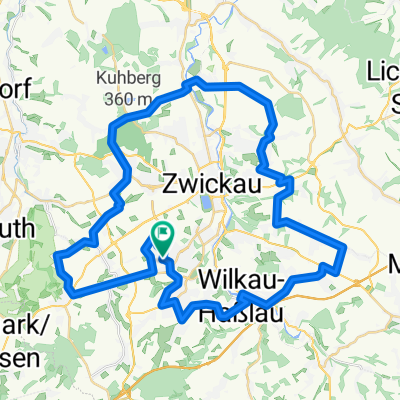
Männertag 2015
A cycling route starting in Lichtentanne, Saxony, Germany.
Overview
About this route
Zwickau - Dresden (cloned from route 2930516)
- -:--
- Duration
- 286.4 km
- Distance
- 202 m
- Ascent
- 408 m
- Descent
- ---
- Avg. speed
- ---
- Max. altitude
Route quality
Waytypes & surfaces along the route
Waytypes
Quiet road
88.5 km
(31 %)
Cycleway
45.4 km
(16 %)
Surfaces
Paved
230.2 km
(80 %)
Unpaved
21 km
(7 %)
Asphalt
211.8 km
(74 %)
Gravel
12.3 km
(4 %)
Route highlights
Points of interest along the route
Point of interest after 34.1 km
Aufstieg Schloss Wolkenburg
Point of interest after 34.3 km
Schloss Wolkenburg
Point of interest after 54.9 km
Aufstieg Wechselburg
Point of interest after 76.7 km
Muldevereinigung Zwickauer Freiberger
Accommodation after 88.5 km
Pension F5
Continue with Bikemap
Use, edit, or download this cycling route
You would like to ride Männertag 2015 or customize it for your own trip? Here is what you can do with this Bikemap route:
Free features
- Save this route as favorite or in collections
- Copy & plan your own version of this route
- Split it into stages to create a multi-day tour
- Sync your route with Garmin or Wahoo
Premium features
Free trial for 3 days, or one-time payment. More about Bikemap Premium.
- Navigate this route on iOS & Android
- Export a GPX / KML file of this route
- Create your custom printout (try it for free)
- Download this route for offline navigation
Discover more Premium features.
Get Bikemap PremiumFrom our community
Other popular routes starting in Lichtentanne
 Zwickau/Planitz - Mülsengrund und zurück
- Distance
- 40.1 km
- Ascent
- 258 m
- Descent
- 304 m
- Location
- Lichtentanne, Saxony, Germany
 Zwickau - Kirchberg
- Distance
- 33.9 km
- Ascent
- 280 m
- Descent
- 304 m
- Location
- Lichtentanne, Saxony, Germany
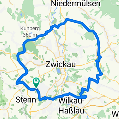
 Rund um Zwickau
- Distance
- 49.9 km
- Ascent
- 547 m
- Descent
- 547 m
- Location
- Lichtentanne, Saxony, Germany
 Marienthal - Niederschindmaas
- Distance
- 18.4 km
- Ascent
- 0 m
- Descent
- 79 m
- Location
- Lichtentanne, Saxony, Germany
 Rund um Zwickau ( Kl. Runde )
- Distance
- 39.2 km
- Ascent
- 422 m
- Descent
- 426 m
- Location
- Lichtentanne, Saxony, Germany
 Rundfahrt Zwickau - Zschorlau
- Distance
- 61.1 km
- Ascent
- 803 m
- Descent
- 803 m
- Location
- Lichtentanne, Saxony, Germany
 Thanhof-Kirchberg-Eibenstock-Auerbach-Lengenfeld-Gospersgrün
- Distance
- 87.6 km
- Ascent
- 786 m
- Descent
- 786 m
- Location
- Lichtentanne, Saxony, Germany
 Männertag 2015
- Distance
- 286.4 km
- Ascent
- 202 m
- Descent
- 408 m
- Location
- Lichtentanne, Saxony, Germany
Open it in the app